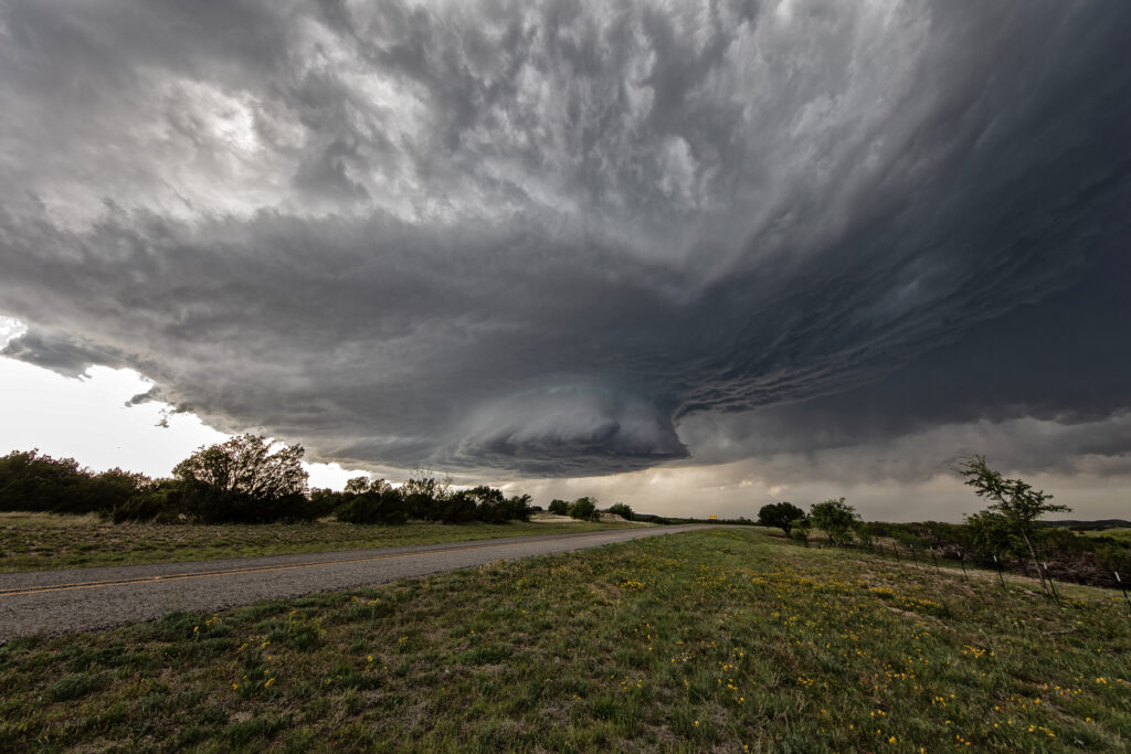
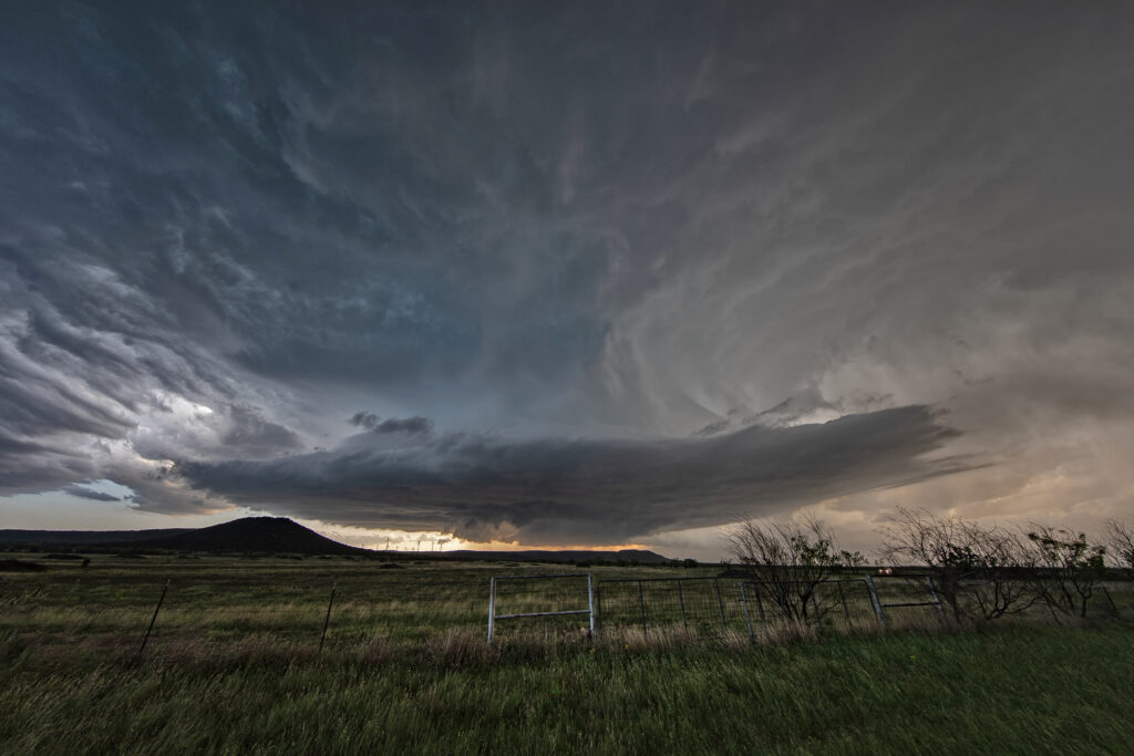
April 25th Sweetwater, Texas Stunning Supercell!!
April 25th featured a short wave trough approaching Texas. This lead to a surface trough in eastern New Mexico that helped bring moisture northward from the gulf of Mexico. Southeasterly surface winds raced northwest towards a dryline in west Texas where a weak low had developed. Models were fairly consistent developing storms, some supercells, near the Snyder/Sweetwater area and they nailed it. We approached Sweetwater later in the afternoon as cumulus towers were seen. A high based severe thunderstorm produced a couple shear funnels due to strong motion at cloud base. This storm became a prolific hailer as it moved towards town and eventually to the southeast.
South of town, the structure was magnificent! A sculpted updraft with striations showed just how well organized this supercell was. As darkness fell, the storm maintained its intensity as it moved southeast. Lightning illuminated the structure in the dark and made for quite the scene. Finally, about 10pm we let it go as it weakened and we drove towards Abilene where we spent the night. We came across copious amounts of hail, some close to tennisball sized. A fun day and it’s always amazing to see nature’s artistic side in a gorgeous sculpted supercell! Enjoy the pics!


No comments yet.