February 23rd and 24th, 2007 Texas Panhandle and Central Kansas Supercells
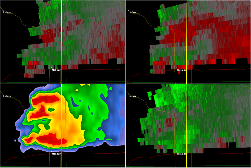
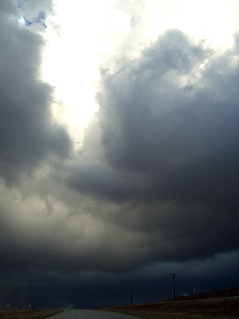
I can’t believe the 2007 chase season has started for me. The models had shown a great potential pattern for this two day period for several days, so I couldn’t resist heading out to clear the wintertime cobwebs from my head. On the early morning of February 23rd, I picked up Jon Merage, who owns the copyright to some of these photos (web.mac.com/mistertwister), two SLT Local customers, and off we went. My target was the Texas panhandle east of Amarillo. Everything showed the dryline sharpening up there, along with decent moisture and great shear. We arrived to see shallow cumulus towers developing on the dryline and soon the first weak cbs developed. Several storms formed southeast of Amarillo, with each one getting stronger with each successive attempt. A tornado watch was soon issued. Finally a few weak supercells developed. At 5:50 PM one storm approached I-40 near McLean and produced an 11 minute long tornado, that skipped along the ground, occasionally making contact and producing a dirt/debris cloud. As the tornado roped out, my van blew an oil line (that had JUST been replaced!), and that finished our evening. After having the van towed back to Amarillo to a Ford dealer we rented an SUV and continued our chase.
February 24th looked like a decent cold core chase in Kansas. By late morning we arrived in the Wichita area and around 11:30 a tornado watch was issued. You could see serious convection developing along the dryline/pacific front intersection and see the towers moving northwest and intensifying. We headed north from El Dorado to the Florence/Marion area as a tornado warning was issued. A tower directly in front of us was quite low and rotating wildly. A nub funnel appeared, but never did touch down. We continued north with the storm and then drifted northwest towards Abilene. Several low topped storms developed, with a couple becoming severe and even tornado warned. We headed west on I-70 to Solomon as a very low based storm developed. It was right on the boundary with the now occluding low and tried everything it could to produce a tornado. Numerous funnels developed and extended halfway to the ground. At one point we were under the shear line of this cell and directly in front of us winds cranked up quickly out of the west. Directly north of that, winds were crazy out of the east. Tumbleweeds, corn stalks and hay were pulled up into the air! We think there was a weak tornadic circulation on the ground! Directly overhead there was strong cyclonic rotation with a rotating lowering/funnel! Shortly afterwards the cell weakened as it moved into the cold air. We ended up spending the night in Salina as all roads back into Colorado were closed due to blizzard conditions.


No comments yet.