July 13th Central Alberta, Canada Tornadic Supercell
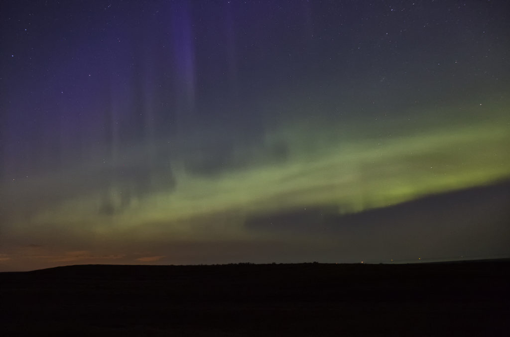
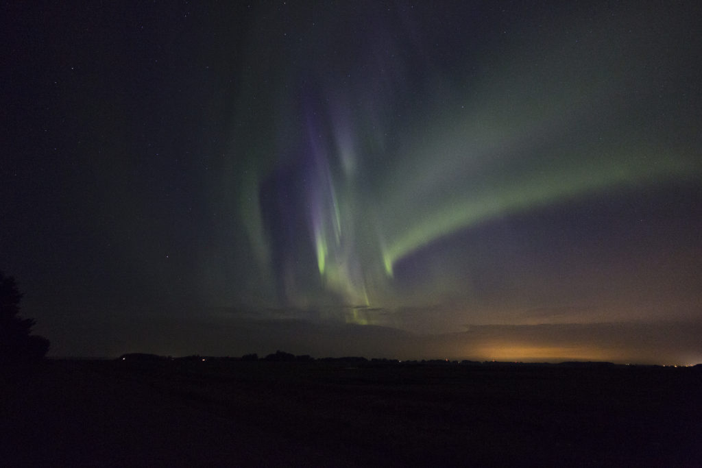
After our adventure in North Dakota on July 11th we knew we had to head well into Canada. A strong upper level low with great flow aloft, good moisture and instability, and lift along a dry line /Canadian Rockies foothills, would keep us in this region for several days. However, July 13th was by far the best set up in the area! We spent several nights in Red Deer, Alberta and chased west and north of there each day, capturing everything from supercells and tornadoes, great lightning, large hail, clusters of storms, and even a superb Aurora Borealis display on night!
July 13th looked like the peak of action and it certainly was. We targeted a boundary and foothills intersection west of Drayton Valley and we were on the storm as it developed west of there by mid afternoon. We watched the storm cycle several times until it finally intercepted better moisture and instability and took off. It rapidly intensified and started rotating. Soon the roar of the winds with the RFD of the supercell could be heard, followed by the winds from the tornado it produced. It started as a multivortex and morphed into a cone before it completely wrapped in rain. It was rated EF1, the strongest tornado in Alberta in 2017. The storm had fantastic structure, and throw in the canola fields of Canada and it was stunning! A great day and 4 day period for us in Alberta. Beautiful countryside there! Enjoy the pics and the Aurora as well!


No comments yet.