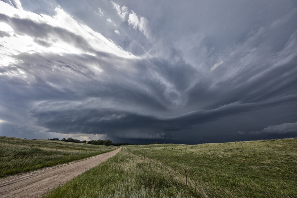
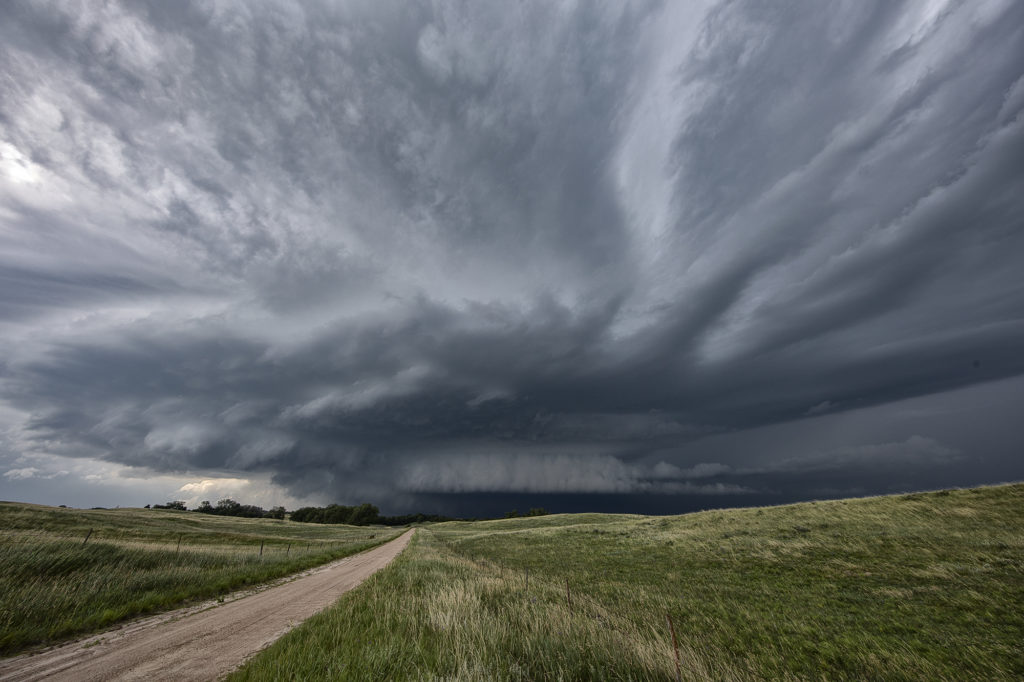
July 16th Central Nebraska Tornado Warned Supercell
July 16th featured very high dew points in the mid 70s and CAPE values over 3000 j/kg. Shear was modest, so we weren’t certain we would get supercells. An early day supercell over eastern Nebraska laid out an outflow boundary over central Nebraska from Valentine southeast towards Grand Island. Storms formed along this boundary and moved east into the cool stable air and died. Later in the afternoon a cluster of storms formed on the boundary and the tail end storm anchored. It immediately started spinning and became a formidable supercell! As the storm right turned on the boundary and moved towards Burwell, it was rotating strongly and was extremely electrified! I thought it had a decent chance to produce a tornado, but it did not. A couple of weak funnels did form. As the storm continued southeast, it became tornado warned with strong rotation continuing. Another supercell formed west of this and rotated down towards I-80 near Gibbon and also became tornado warned. The structure was incredible with one of the best shelf clouds I’ve seen in years! As the storms pushed south of I-80, they gusted out and became a wind machine. A great day with far better results than we were expecting! Enjoy the pics!


No comments yet.