June 10th Northwest South Dakota Tornado Warned Supercell
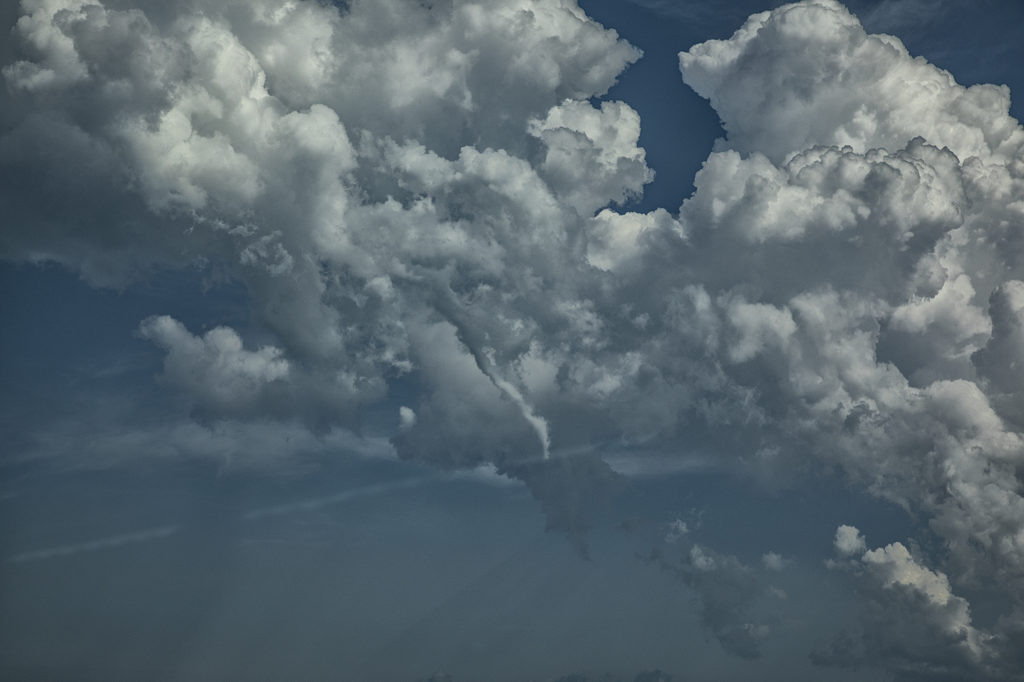
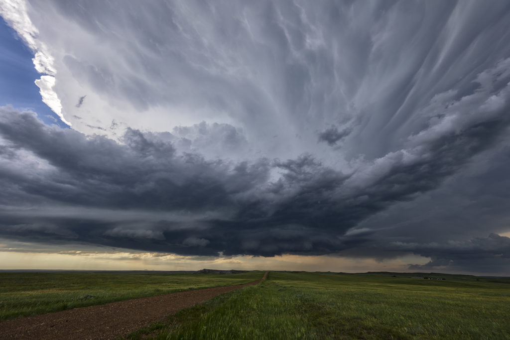
We expected a good day this day in South Dakota! Great instability, near 70 dewpoints, good shear and a dryline/outflow boundary intersection would set the stage for intense supercells late in the afternoon. By mid afternoon, a cluster of congestus formed in northwest South Dakota south of Buffalo. Soon several cells tried initiating there, with one dominant storm taking over the show. It quickly grew to 60,000 feet tall and became severe warned. Structure was decent and a wall cloud, complete with clear slot formed as it became tornado warned. This cell would weaken and intensify several times, but it never seemed a major threat to produce tornadoes. The tornado warning on the supercell continued for several hours, as broad cyclonic rotation occurred. It just never seemed like the rotation tightened enough to produce more than a weak funnel or two. By early evening, the storm lined out with a really pretty shelf cloud that had embedded mesocyclones that also became tornado warned. Still, a fun day, giving us many hours of chasing time on this pretty storm!


No comments yet.