June 12th Oklahoma Panhandle Supercell
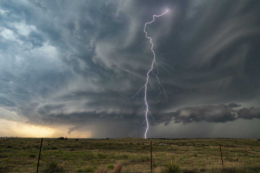
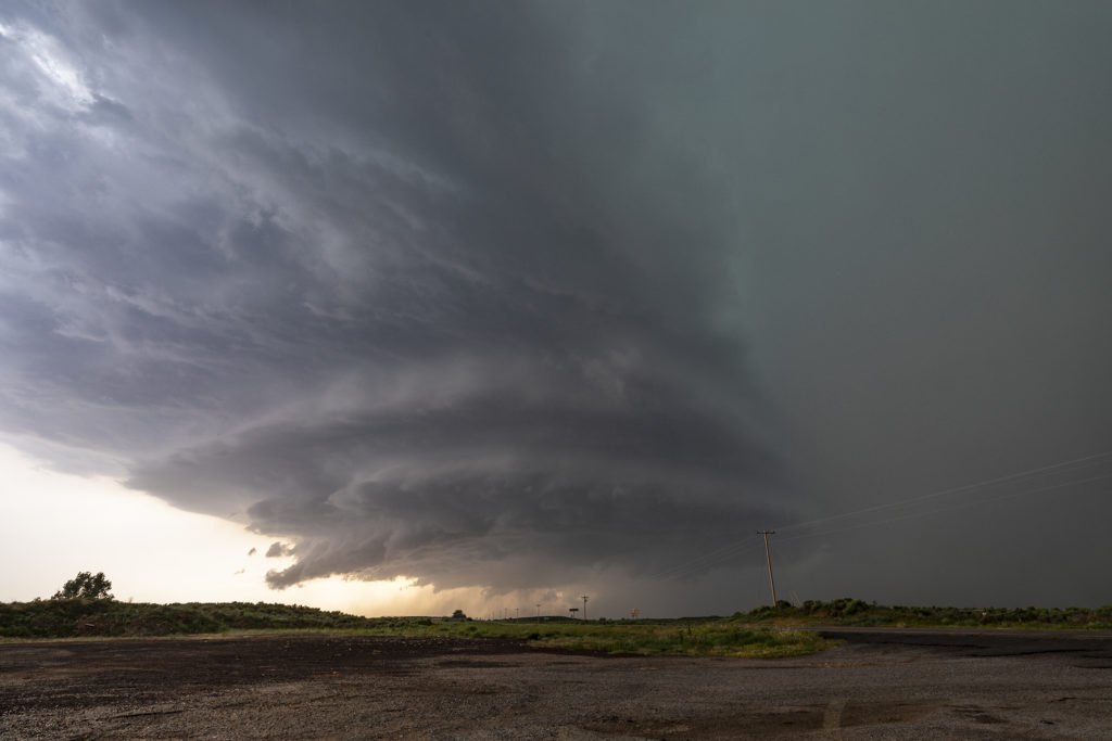
June 12th really didn’t look that good on paper. Weak wind shear should have resulted in storms being multicellular or pulse. However, one storm formed on the Kansas border and drifted southwest and became a very pretty supercell. The big story with this storm was lightning and structure. At one point this storm was producing cgs at the rate of 5 per minute. Instability was quite strong and lapse rates were very steep. The storm drifted westward for several hours and maintained its intensity. At one point it was a pretty stack of plates looking supercell. Colors were fantastic as well. Kudos to local fire departments for getting out and putting out the grass fires that were caused by this cell! There were many!! Mid evening the storm weakened and still gave us quite the light show as we drove to our hotel. Enjoy!


No comments yet.