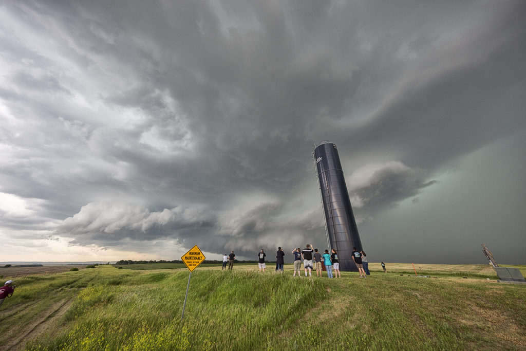
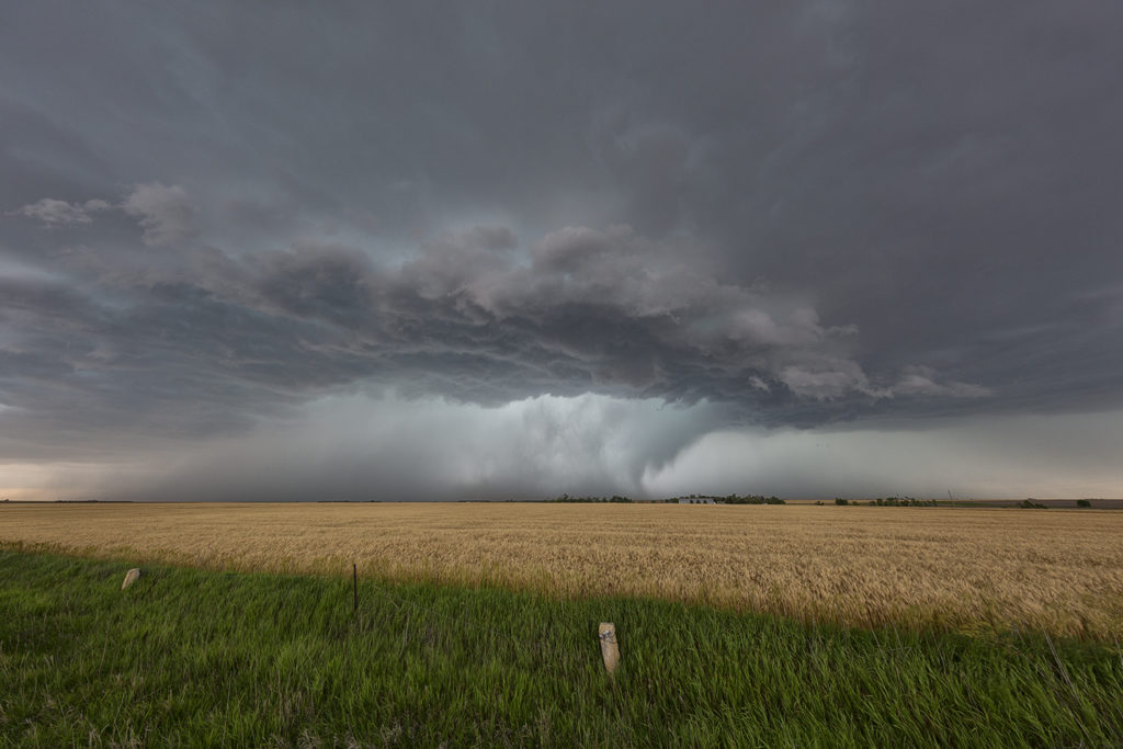
June 15th Central Kansas Supercell
What appeared to be a marginal risk day in Kansas ended up producing a decent supercell. High CAPE, moderate shear and moisture, with convergence along an old frontal boundary, would spawn severe storms this day. A couple supercells became tornado warned not far from Hays. They also produced hail baseball sized. Very steep lapse rates would be the culprit for the large hail, as well as decent directional and speed shear. The storms persisted through early evening as the turned southeast towards the Wichita, Kansas area, maintaining their severity all the way.


No comments yet.