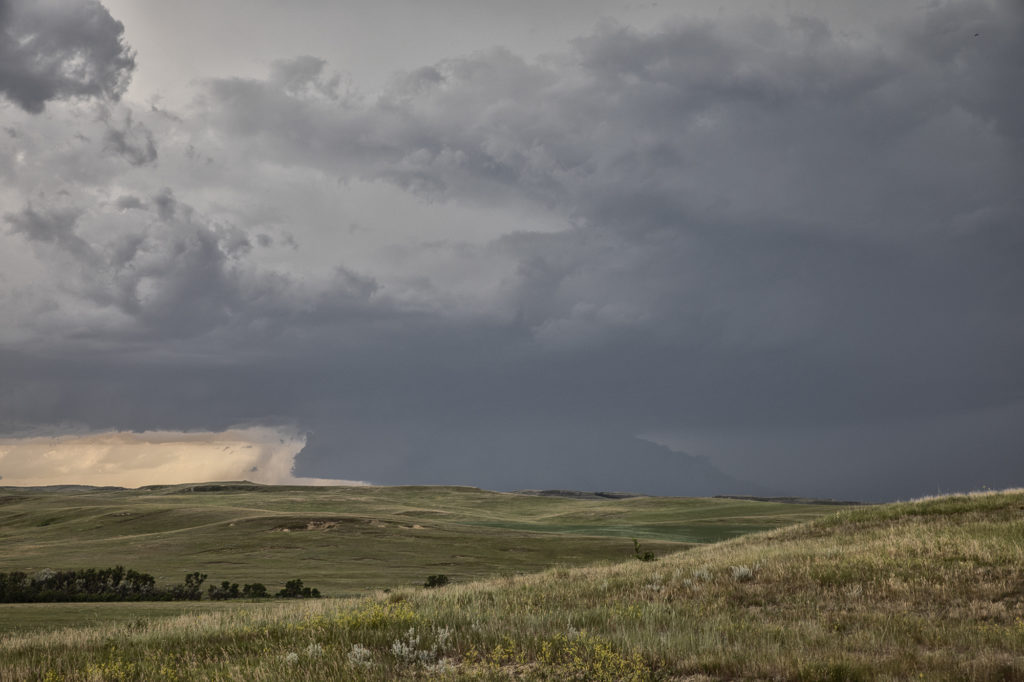
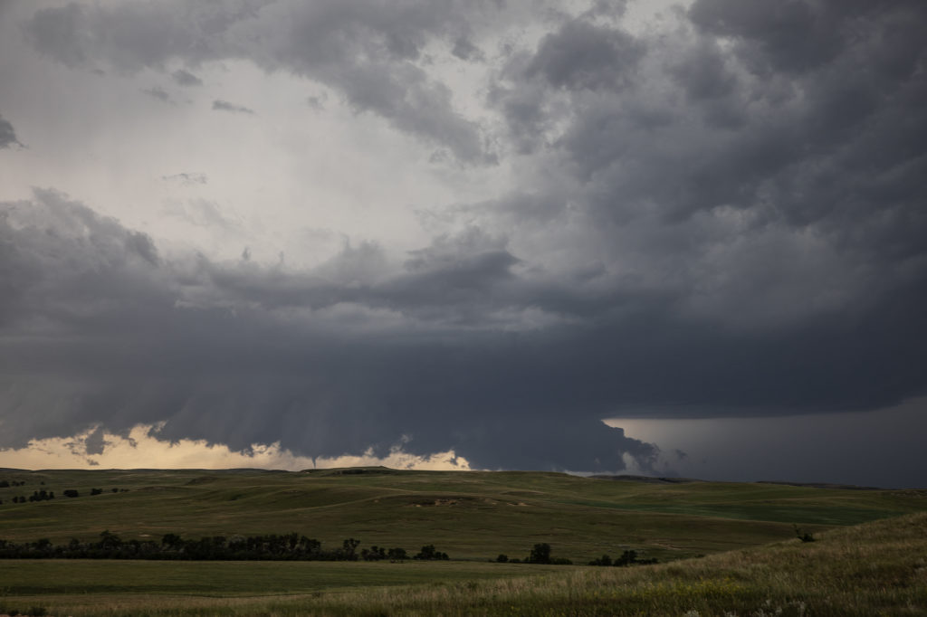
June 29th Theodore Roosevelt NP Tornadic Supercell
June 29th took Photo Tour #3 westward to Theodore Roosevelt National Park area where a triple point would set up and cause supercells to form. Strong shear, high CAPE values, good moisture and lift at the triple point helped to generate one intense supercell northeast of Wibaux, Montana that moved into western North Dakota. We positioned ourselves down wind to allow the storm to mature as it approached. A large wall cloud formed that started rotating with wrapping rain/hail engulfing it. A brief tornado occurred that we could see in the distance. Unfortunately there weren’t many roads to allow us to get closer or even stay with it. Numerous other storms formed and became quite a messy MCS. We stayed with them all the way to New Town, ND where another tornado warning was issued. A messy murky system approached as we decided to retreat and get out of it’s way. We headed on northwest to Williston for the night. Yours truly lost his cell phone as huge hail started falling and ended up driving back to the park in the middle of the night to find it. Success, it was found! (Destroyed and cracked, but it was found!!!) Please click on a pic for a larger image. Enjoy!


No comments yet.