March 30th Northeast Oklahoma Tornadoes
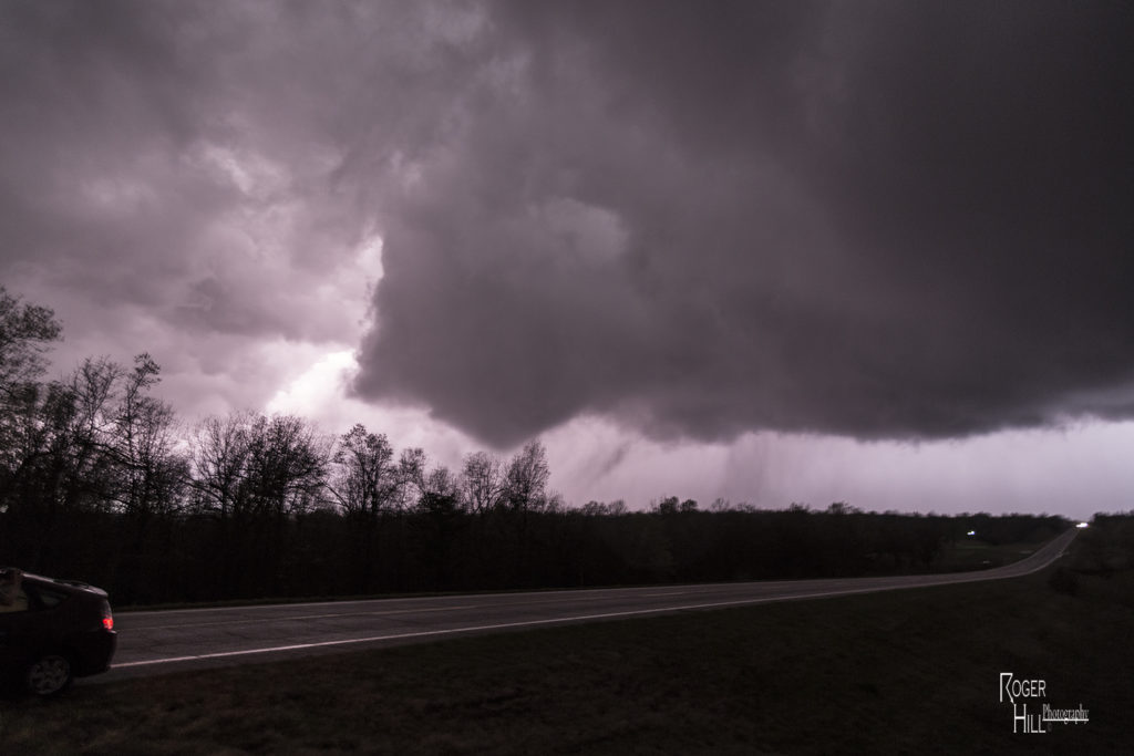
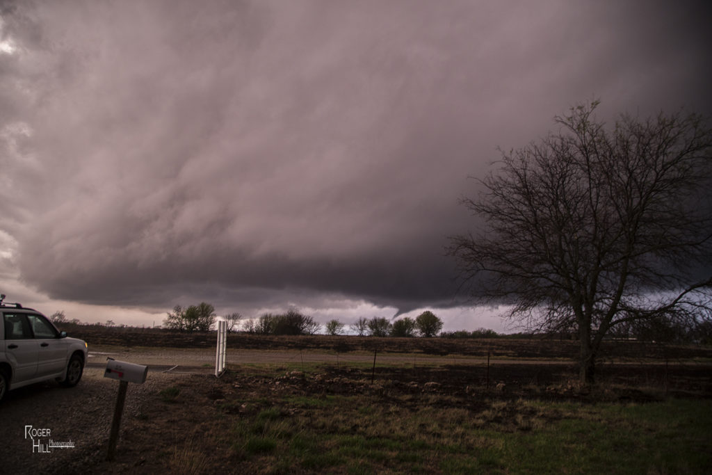
March 30th took us to northeastern Oklahoma and southeastern Kansas on our first chase of the season for a day that promised intense storms and strong tornado potential. Things got messy pretty quickly in southeastern Kansas so we dropped south into northern Oklahoma. First, just south of Caney, Kansas an intense supercell formed. This storm had an amazing wall cloud that was rotating rapidly. It became tornado warned, but due to too many cell mergers, it never produced. We dropped south towards Nowata, Oklahoma as a tornado warned supercell approached. This storm had incredible structures and soon dropped a truncated cone shaped tornado (rated EF1) northeast of town that skipped across the countryside for 5-10 minutes before dissipating. The supercell continued northeast from there and dropped a second tornado (rated EF0) in open land. This tornado actually looked stronger as darkness set up, but we were never able to get close enough to it. Fun chase day, great results, and a long trip back to Denver.


No comments yet.