March 31st Ollie, Iowa Violent Tornado
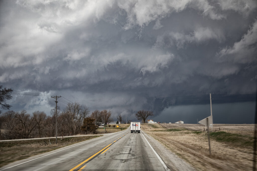
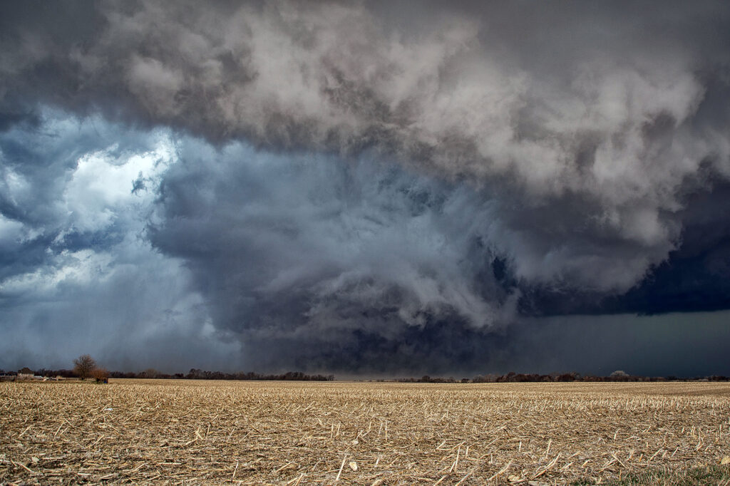
An extremely volatile day was in store on March 31st. A powerful trough was moving out of the Rockies onto the plains as a surface low intensified north of Omaha. We took our on call tour towards the Des Moines area in anticipation of rapid supercell formation early afternoon. The dryline lit up like a Christmas tree shortly after noon as storms raced northeast at 60-70 mph! Strong shear, good moisture and instability and a strong jet would fuel these storms. By 2pm a large thunderstorm formed in northwest Missouri and rapidly moved northeast, becoming tornado warned as it approached Ottumwa, Iowa. We moved to position ourselves in front of it to see what it could produce. We approached the small town of Packwood as a cone tornado stabbed down to the ground west of us and grew to massive proportions.
As we drove west on highway 78 towards Hedrick, the tornado wedged out becoming a massive twister less than a mile from us! The roar of the tornado and rear flank downdrafts winds filled the senses with the sound of a rushing waterfall. Due to fast storm motions and the unfortunate road closures in the area, we were only able to stay with it for about 15 miles before we lost it. This tornado caused a lot of damage, but fortunately no fatalities. It has been officially rated EF-4 by the National Weather Service.
Our thoughts and prayers go out to anyone affected throughout the central and southern plains this day as 60 tornadoes raked the region causing many casualties and much damage.


No comments yet.