May 10, 2010 Northern Oklahoma Tornado Outbreak
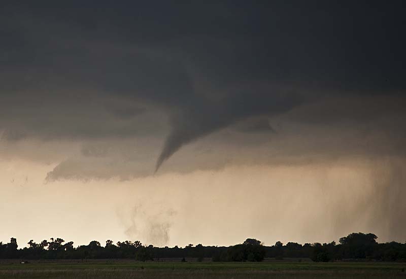
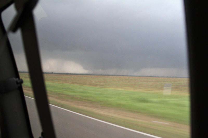
May 10th had huge potential with SPC issuing a High Risk. A strong deep trough would kick out a wave through the southern plains that would create strong moisture advection, increasing instability and strong deep layer shear. We chased one particular storm that formed well southwest of Cherokee, Oklahoma. It developed from a high based supercell that moved off the dryline into deeper moisture, lowering its base and becoming a beast. We intercepted it close to there and followed it toward Wakita where it produced numerous tornadoes. Later that afternoon we would catch another supercell near Ponca City that produced a slender elephant trunk tornado near Pawuska, OK. Being on the wrong side of the van as we raced east to escape a closing tornado west of Medford, I could not shoot any decent video, but here is a cool video that also contains two clips from Ruth McAvinia that shows some crazy behavior from a couple of chasers. Some of these pictures are from my guests Dr Ken Fitzgerald and Ruth McAvinia.


No comments yet.