
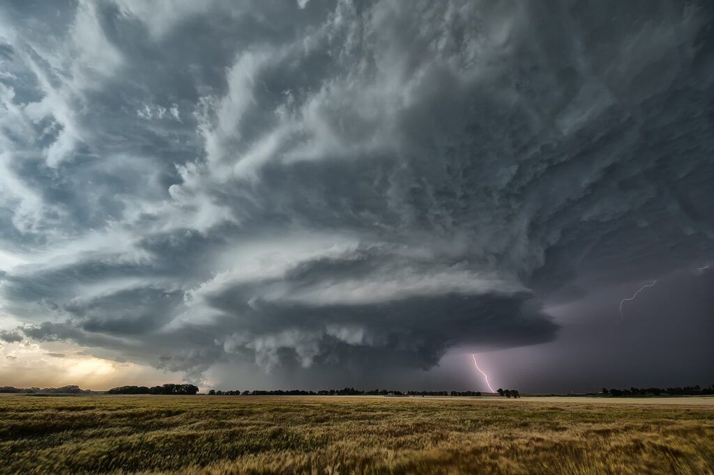
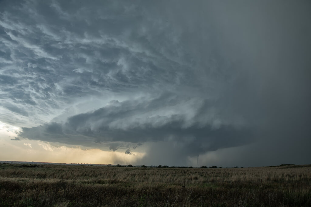
May 19th Butler, Oklahoma Tornadic Supercell
May 19th had a lot going for it. Good shear, instability and moisture, as well as a dryline in the eastern Texas panhandle set the stage for intense storms to form. By mid afternoon numerous storms formed and it wasn’t long before one updraft became dominant. Structure became quite good, and quickly a very slim tornado formed and disappeared in less than a minute. This just attested to the shear that was present. As the storm moved into Oklahoma, structure became amazing! A big soda can updraft with striations and a wall cloud were visible. As the storm approached Butler, it became tornadic and produced a cone tornado, near Custer City followed by w wedge north of Hydro. We got in intense RFD and had trees coming down around us, so we had to get out and move them ourselves so we could continue the chase. As we later past ElReno, we stopped at an exit and filmed the storm coming at us, complete with rapid rising and twisting scud, which soon a debris cloud appeared. We were trying to get through OKC and head north for the night and didn’t want to chase in the city as a substantial tornado touch down south of ElReno. Chasing at night is a challenge, but around a larger city, it is dangerous. We drove north to spend the night in Salina and get ready for the next day which would be a chase day. Enjoy the pics!
No comments yet.