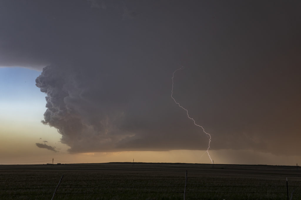
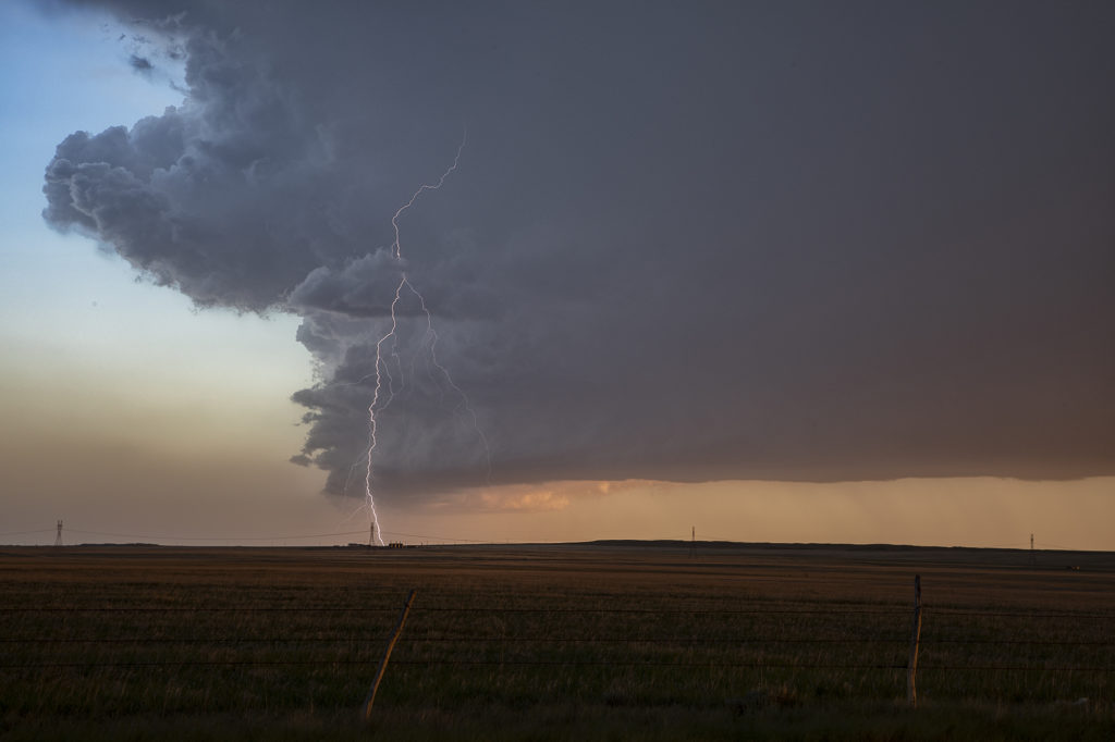
May 20th Northeast Colorado Tornadic Supercell
May 20th looked decent on paper. Strong shear, decent moisture, and moderate CAPE set the stage for intense storms. An outflow boundary/cold front pushed slowly southeast across Wyoming and northeast Colorado. We dropped from Cheyenne into Weld county, Colorado as numerous towers formed. We noticed a column of dirt in the distance (some 20 miles away!) and it turned out to be a landspout tornado that occurred near Greeley. We couldn’t get close enough for a good photo, but a few guests got a shot or video or two of it from our vantage point. The storms congealed into a tail end supercell and were very electrified! As the sun set, the forward flank downdraft lit up with the most incredible orange I have ever witnessed in a storm! After sunset, the sky was illuminated with numerous continuous lightning strikes that were a treat to watch. Click on an image for a larger pic. Enjoy!


No comments yet.