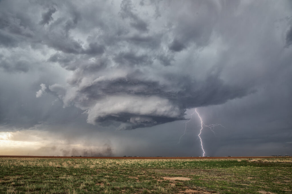
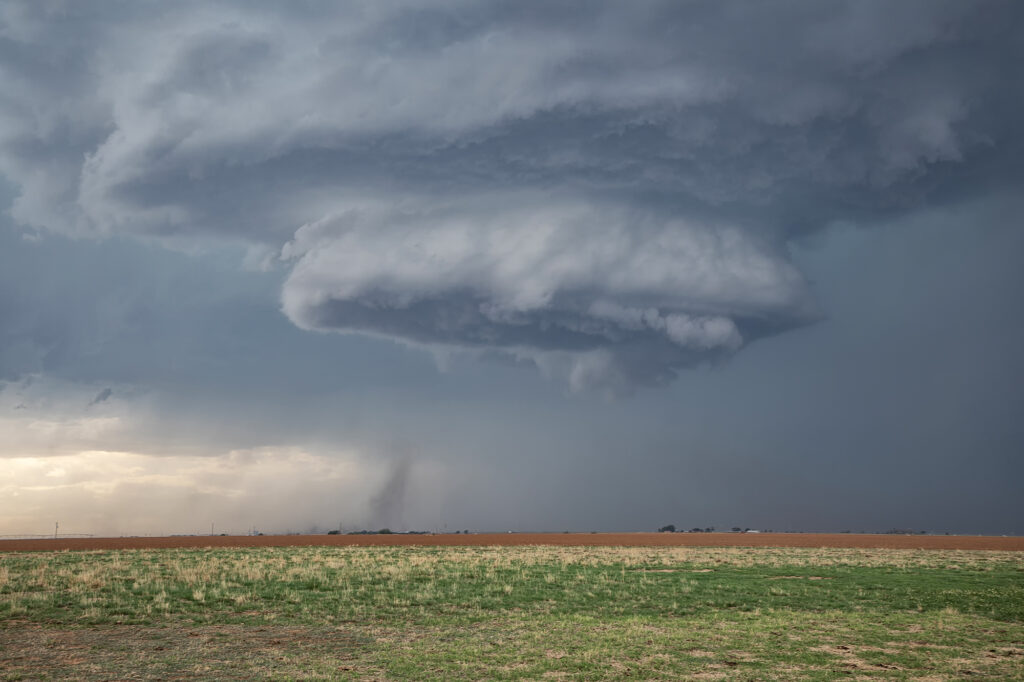
May 23rd West Texas Supercells
May 23rd brought great wind shear, but marginal moisture. Several supercells formed along the TX/NM border east of Clovis, NM. One high based storm took on the classic spaceship appearance and was visibly rotating. A little nubby funnel formed and even touched down briefly (confirmed by the NWS). It was quite pretty and also produced a lot of lightning strikes. As it moved east it became less intense so we blasted to a boundary southeast of Plainview, TX. This storm tried to produce, but low level shear was just too weak. It had great structure as well and spun hard for a couple hours before weakening. A great day with the environment we had! Enjoy the pics!


No comments yet.