May 29th, 2001 Childress, TX Tornadic Supercell
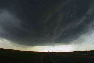
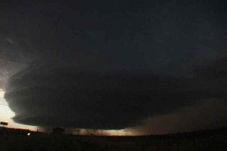
May 29 was a day with tremendous tornadic potential in the Texas panhandle. Incredible shear, instability, CAPE and a boundary existed. SPC issued a PDS tornado watch box for the panhandle by early afternoon. We sat in Amarillo till the initial storm developed near Tulia. This storm took a long time to get its act together and even split 4 times. Typical for a high CAPE/high shear environment. Finally the supercell got going near Turkey, Texas and lost some of its outflow dominant appearance. A couple of possible rain wrapped tornadoes were seen as rapid cascading rain curtains were less than a mile away from us. I could even see condensation fingers rising and wrapping into the rain curtains. By early evening, this storm became my all time favorite supercell. It looked like an upside down wedding cake with the entire updraft rotating. About dark a rather large tornado developed near the town of Quanah, Texas and caused damage. The irony of it all is that just to our north a tornadic supercell produced several large tornadoes near the town of White Deer, Texas!


No comments yet.