
May 31st Eastern Colorado Supercell
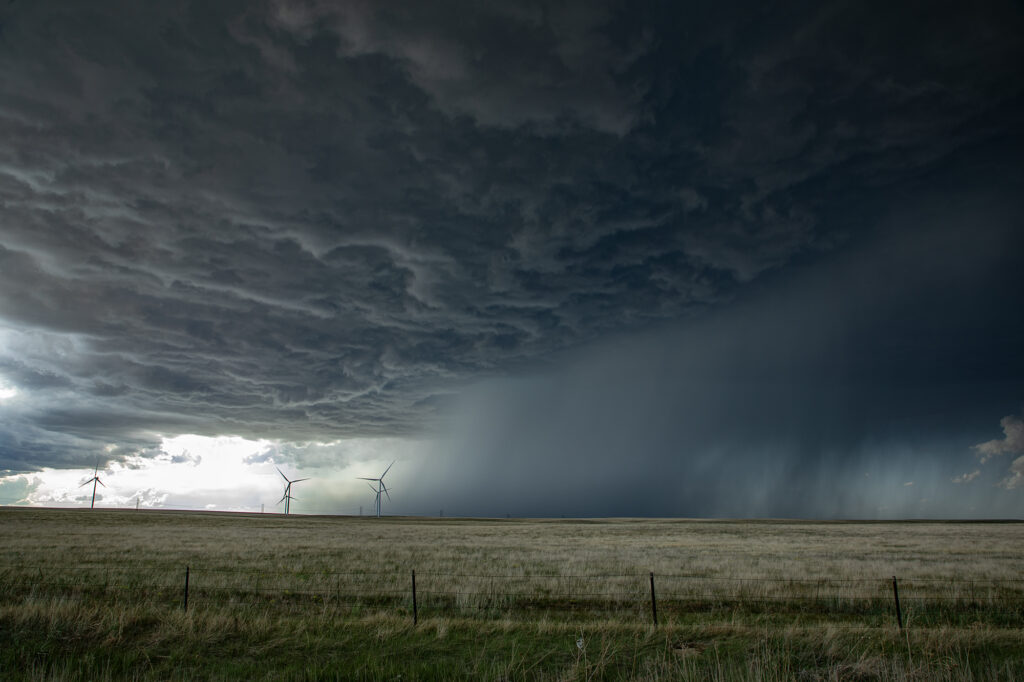
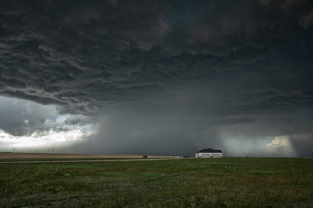
May 31st featured a short wave trough moving across Colorado, with limited moisture, but strong shear. Most models developed storms off the Palmer Divide, intensifying as they moved east/southeast. That is exactly what happened. A storm started spinning and became tornado warned west of Cedar Point, but never showed strong enough rotation to produce a tornado. Another storm formed to the south of it and ended up being the storm of the day. As it steadily intensified, a severe thunderstorm warning was issued for it. As it approached Limon a DESTRUCTIVE STORM warning was issued for hail baseball sized. We encountered hail about golfball size as we had to punch the core and get ahead of it south of Hugo. About 10 miles south of town, structure became quite nice and a lowering formed with slow rotation. I thought for a bit that it might produce a tornado, but to no avail. It never could balance its updraft and downdraft well. With the sun getting low in the sky and having to be back in Denver soon, we waived goodbye one last time and headed home. A fun day and close to Denver made it an even better treat! Enjoy the pics!
No comments yet.