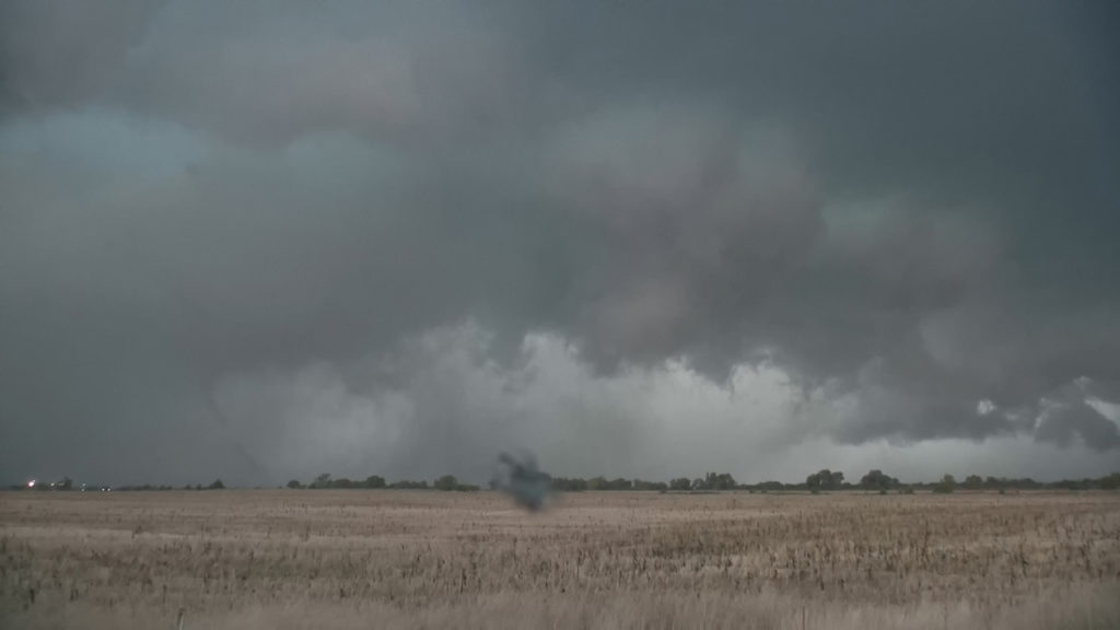
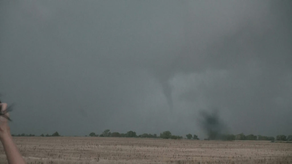
October 6th Central Kansas Tornadic Supercell
October 6th had us running an on call tour. The setup looked higher end for a fall event. Good shear, abnormally high dewpoints, moderate CAPE and a dryline/triple point would set the stage for numerous storms to form. We jumped on the first storm southwest of Garden City, Kansas, which took us all the way to south of Salina, Kansas! It was the long lived supercell all high res models showed would form. Structure was decent and it certainly produced copious amounts of huge hail to softball size! As evening approached the cloud base lowered and the fun really started. Several funnel clouds formed and one tornado occurred from the storm. Motion was absolutely crazy with this supercell and I was pretty surprised it didn’t produce a large tornado! Nonetheless it was a fun chase day and great results! Drop us an email if you would like to be added to the “on call” storm chasing email list! They are QUITE successful!!


No comments yet.