Tag Archives | 2017

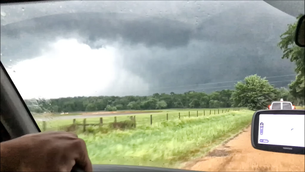
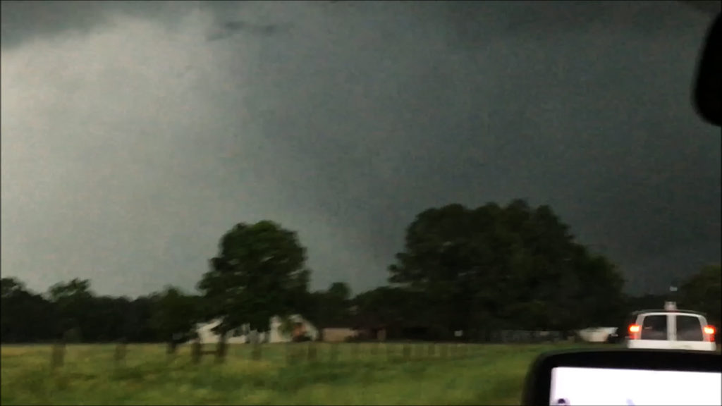
April 29th Canton, Texas Violent Tornado

April 29th was the inbetween day from Tour 1 and 2. However, we also ran an on call tour this day. Many guests from Tour 2, and the On Call tour, went to northeast Texas to chase. As things started to become clear, we blasted south towards the Canton, Texas area. Strong southeast surface winds, extreme instability, high dewpoints in the mid 70s and strong shear set the stage for supercell storms to form and intensify as they moved northeast. Several tornadoes formed as storms matured, with one tornado in particular staying on the ground for 50 miles and over 2.5 hours, getting a rating of EF4! Unfortunately this storm caused significant damage and fatalities in Canton, Texas as well as Fruitvale, Texas. Our hearts go out to those who suffered this day and we hope for a speedy recovery.


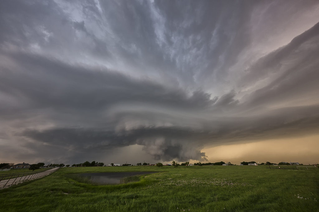
April 21st Pilot Point, Texas Tornadic Supercell

April 21st had high potential. Strong shear, high CAPE and deep moisture would provide the ingredients for intense supercell storms. One storm formed over southeast Oklahoma. We decided to wait it out for later storms to form over northern Texas. A cluster did form with the tail end storm becoming a beautiful HP supercell. It produced a tornado north of Pilot Point, which was mostly rain wrapped. It tried again later in its cycle as you can see from the photos below. Finally, at dusk, another supercell formed and tracked over the region in the dark. Amazingly eery sight watching a storm spin in the dark. Enjoy the pics!


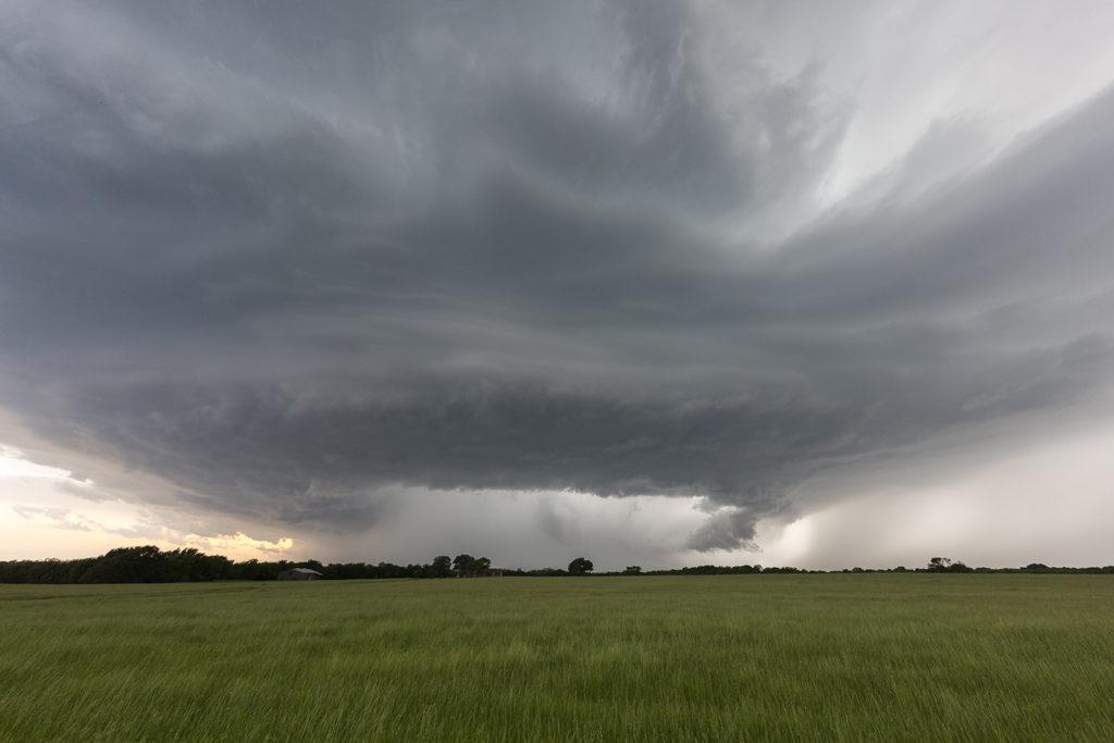
April 15th Protection, Kansas Tornado Warned Supercell

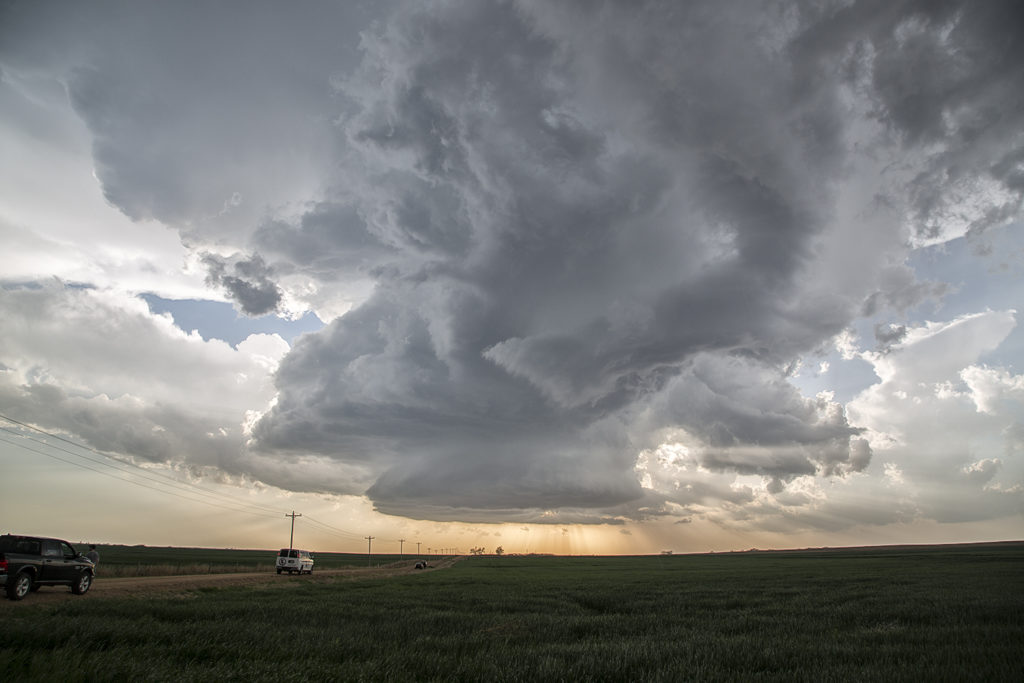
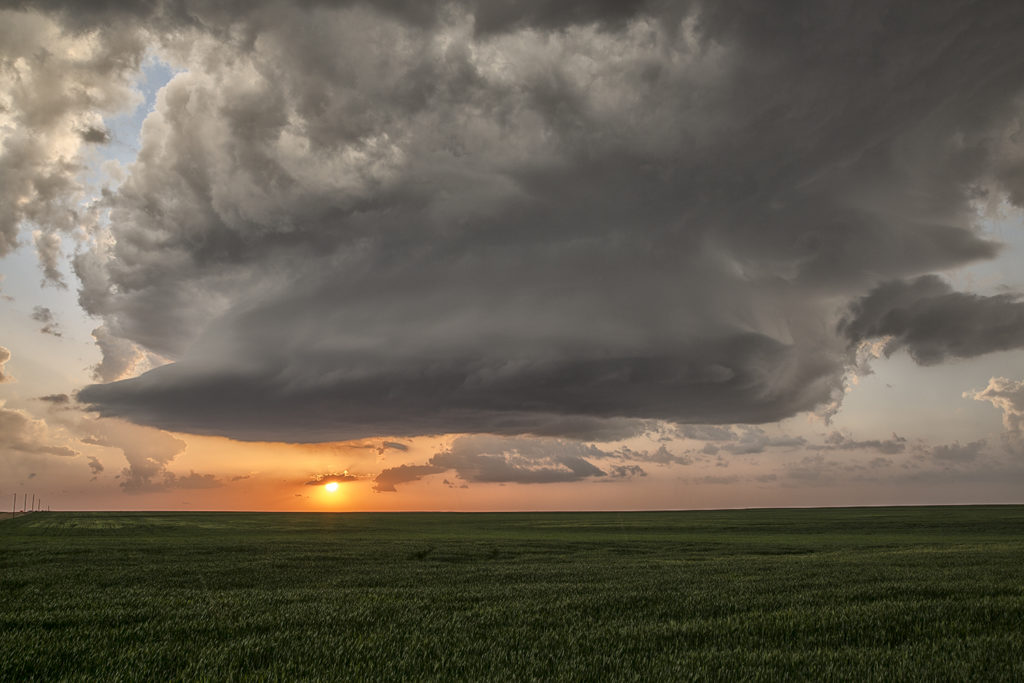
April 15th brought us to southern Kansas for what appeared on paper to be a respectable set up. A strong capping inversion would prevent storms for sustaining themselves until stronger forcing would arrive from the west. Finally by early evening a storm formed and intensified west of Protection. It had decent structure, huge hail and was tornado warned for an hour.

Check out this time lapse from this supercell: