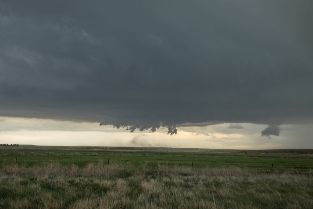
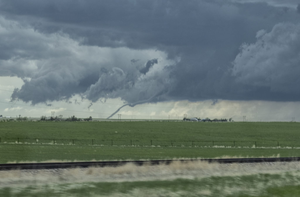
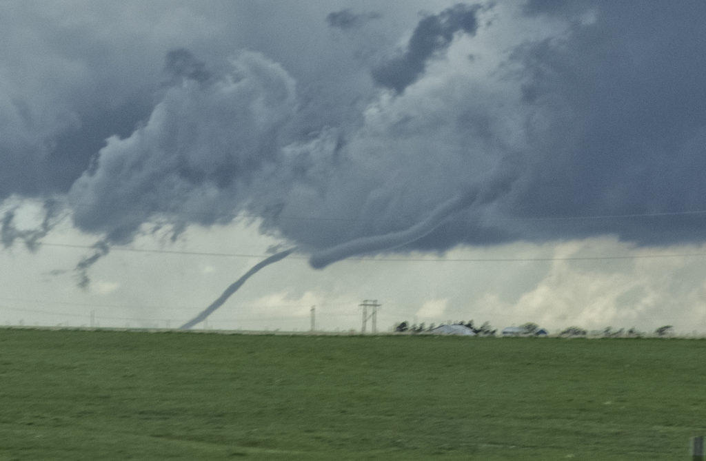
May 20th took us to eastern Colorado for what appeared to be a decent set up on paper. High based storms formed before moisture could work its way west, however they did not last. By later in the afternoon a storm developed rapidly southwest of Akron as a cluster of cumulus deepened. The storm hit the better air and became severe. Structure improved, and soon a lowering developed with RFD dirt wrapping around it. A merry go round ensued. The developing rotation could not tighten enough to produce a tornado, but it was fun watching it try. Lightning became intense so we had to vacate our position and move east and south. Eventually the storm became quite messy and we chose to leave it since we had to be in Iowa the next day on a far better set up (see the next chase account!!!). Enjoy the pics!


