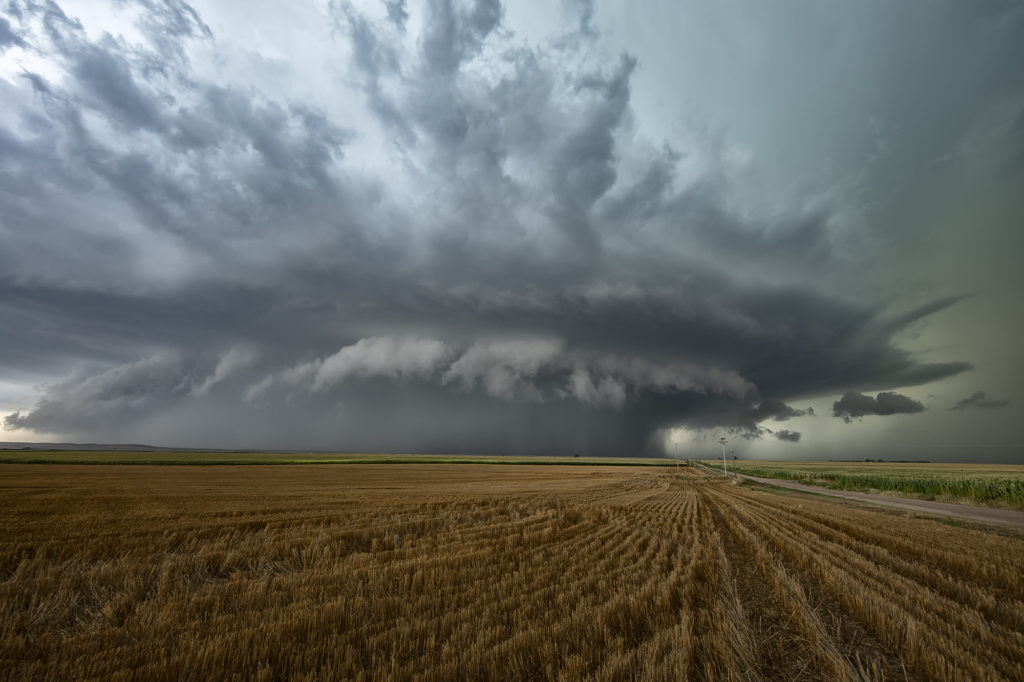
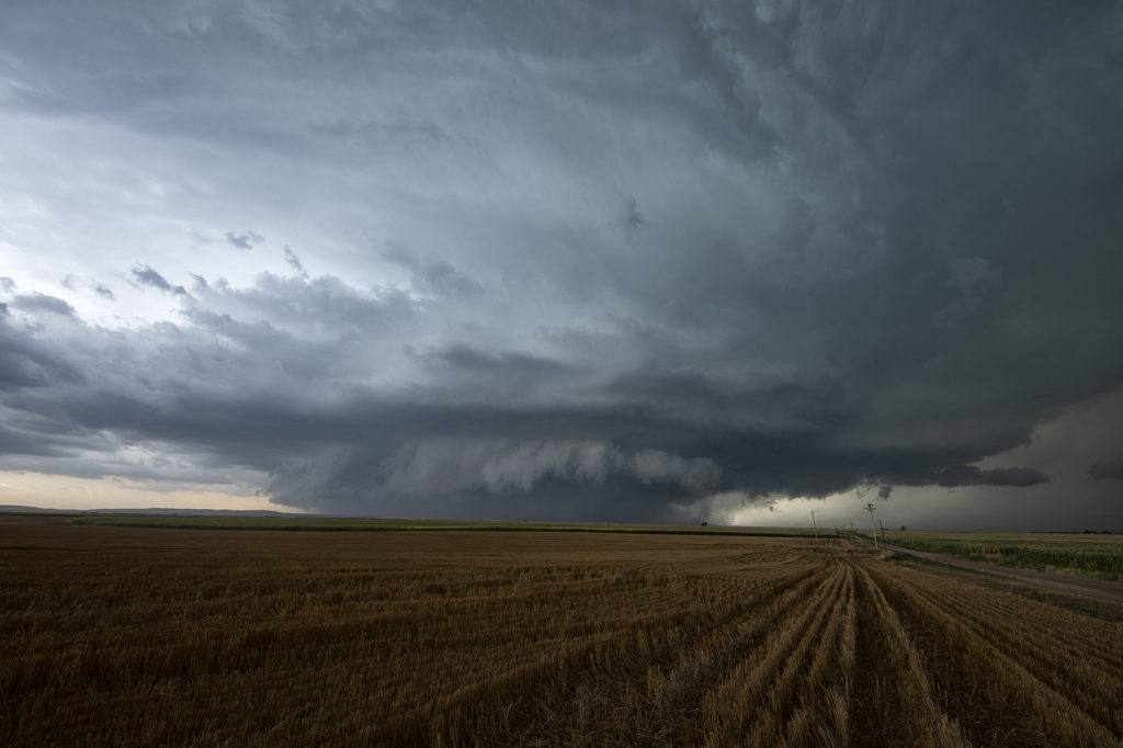
August 19th looked too good not to chase. Good moisture, high CAPE values, strong lift with an approaching wave and good low level shear along a boundary would set the stage for a good day! Mid afternoon storms exploded over northeast Colorado and slowly intensified. One particular storm, south of Holyoke, CO became a supercell. As it drifted east/northeast along the boundary it took off and became tornado warned. Very very strong low level rotation was occurring and the low level mesocyclone eventually became rain wrapped where you couldn’t see it anymore. Extremely heavy rains (4-9 inches!) prevented me from taking dirt, now mud, roads to get into the notch for a better look. However, the storm did produce a tornado, possibly two, one of which was a fast funnel in the hook area before it wrapped up in rain. A fun chase day, and good results, just wished for a better view in the notch! Enjoy the pics!
Desert Thunder Tour, early August
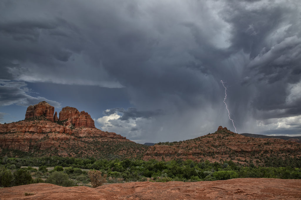
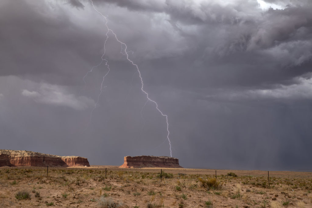
Our 2021 Desert Thunder tour scored big this year, chasing nearly every day. A very favorable monsoon pattern was in place with a 4 corners high stationary the entire time, pumping easterly winds in the mid levels and surface moisture out of Mexico. Daily rounds of storms gave us some amazing scenes, and throw in the cactus varieties and mountains, and you have a winner! All guests got some incredible photos! It is nice being able to base yourself at ONE hotel to come back to each night and the Tucson airport Residence Inn is a great one! Please enjoy the pics and if you are interested in this “lightning and landscape” tour, check out the website! It is shown at the bottom of the list of tours.


