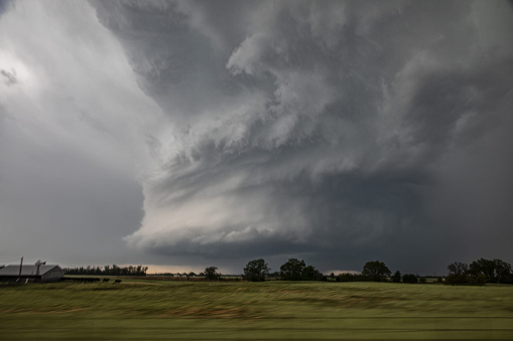
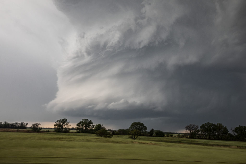
May 2nd offered a significant severe weather threat. An advancing cold front would be the focal point for severe storms, including supercells. Good moisture and instability would be present to fuel these storms. The question was what mode would storm take? As the front moved southeast, storms became linear. However a couple of storms formed along the dryline and would be the best storms to chase. A significant supercell formed near Dover, OK and produced a weak tornado. The structure on this storm was just gorgeous. Big spiraling soda can shape that spun like crazy. As the cold front overtook it, we blasted east and south towards Pauls Valley and caught another supercell that cycled several times before eventually producing a tornado near Seminole. The structure was spectacular with a mothership base to it and a very cumuliform updraft. Above it was a spectacular mammatus field that went on for many miles. A great chase day, very photogenic storms, and one of the best mammatus of the year!


