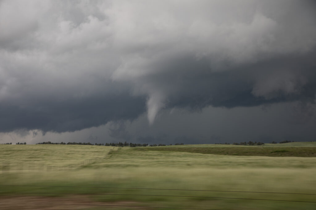
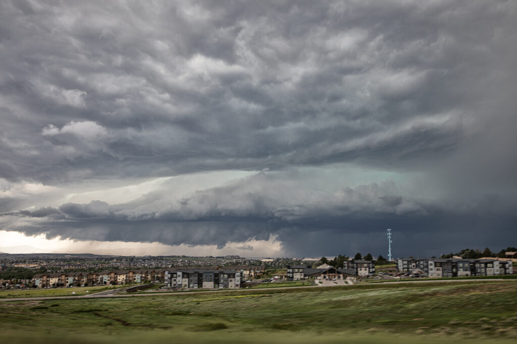
June 22nd took us close to home. We approached Denver after chasing north the previous day. We arrived as a supercell was coming off the foothills and intensifying as it right turned towards the Highlands Ranch area. Soon, a low level mesocyclone formed as a clear slot wrapped around it. Within a few minutes a low hanging wall cloud started spinning. Then a rather large barrel shaped tornado formed in the rich moisture and strong wind shear, and descended on Highlands Ranch. EF1 damage occurred as the tornado was on the ground for about 15 minutes traveling several miles. As the storm moved east, it back built on the southern flank towards the Palmer Divide. As we dropped south, another funnel cloud formed, but did not touch down. As we headed east from Peyton, CO the new southern storm became quite strong and was also tornado warned. However, it did not produce, but certainly was intense. Crazy day, and thankfully nobody was killed in the Denver metro area from this tornado.


