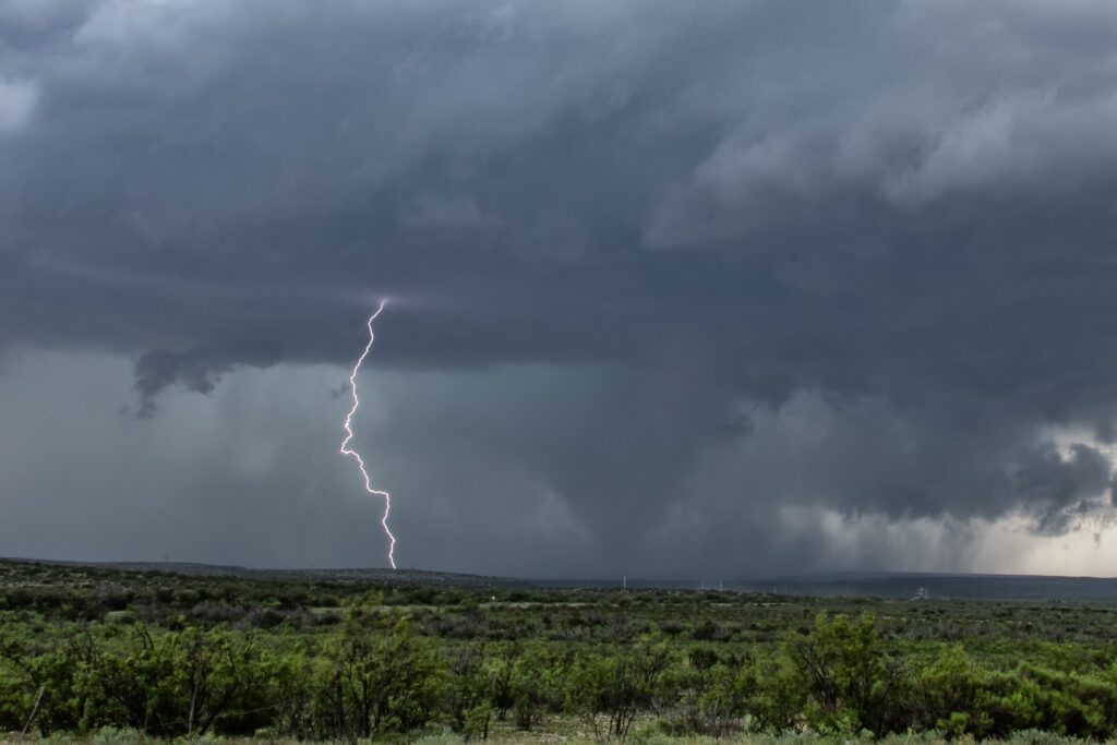
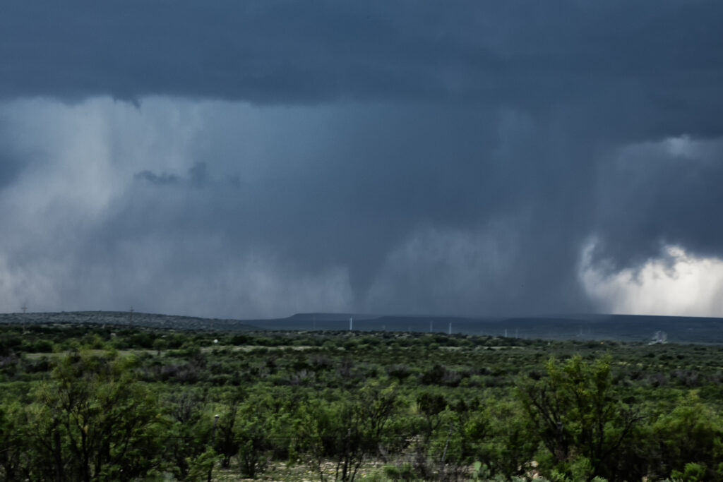
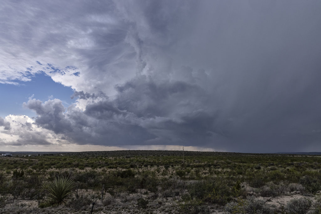
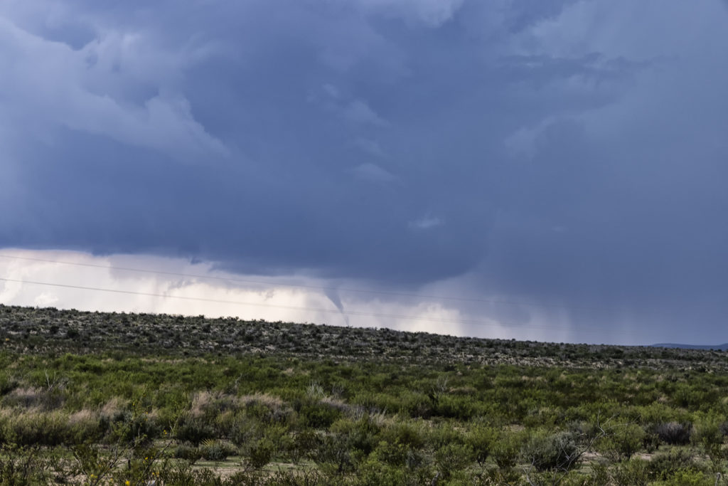
Even though May 4th was the last day of the tour, we could not pass up the chance to chase the set up this day. Upslope flow, good moisture and instability, along with good shear provided the needed ingredients for supercells and potential tornadoes this day. We knew storms would start out high based, but their bases would lower as they moved east off the mountains into the lower lands where better moisture resided. That is exactly what happened. A cluster of storms formed, of which the tail end cell took over and became dominant. A quick spinup occurred as low level rotation cranked up under the updraft We had to vacate our position due to huge hail falling and drove east of Ft Stockton to a south bound road that would be give a view. The only issue is there just aren’t many roads in this part of Texas. As we drove south, rotation increased as the supercell dropped a rather large cone. It became rain wrapped after a few minutes so we continued southward to where the road put us directly in front of the supercell. Soon cgs started raining down from the updraft and rotation became focused. Several tornadoes formed and rotated around the wall cloud. It was quite the sight!!! After becoming strongly HP, we blew it off since we had a 600 mile drive back to Oklahoma City that night. 3 am arrival, but everyone was stoked due to the excellent day we had! Enjoy the pics!


