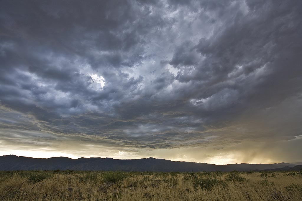
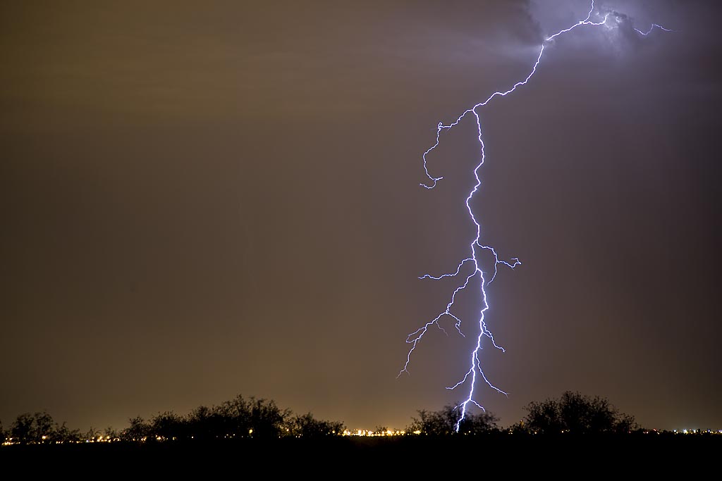
This was our annual Desert Thunder tour for Silver Lining Tours, and it did not disappoint. Several days, we had intense storms developing off the mountains and moving over the lower deserts, providing wonderful electrical displays.
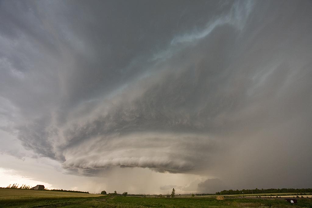
July 19th, 2008 North Dakota Incredible Supercell!
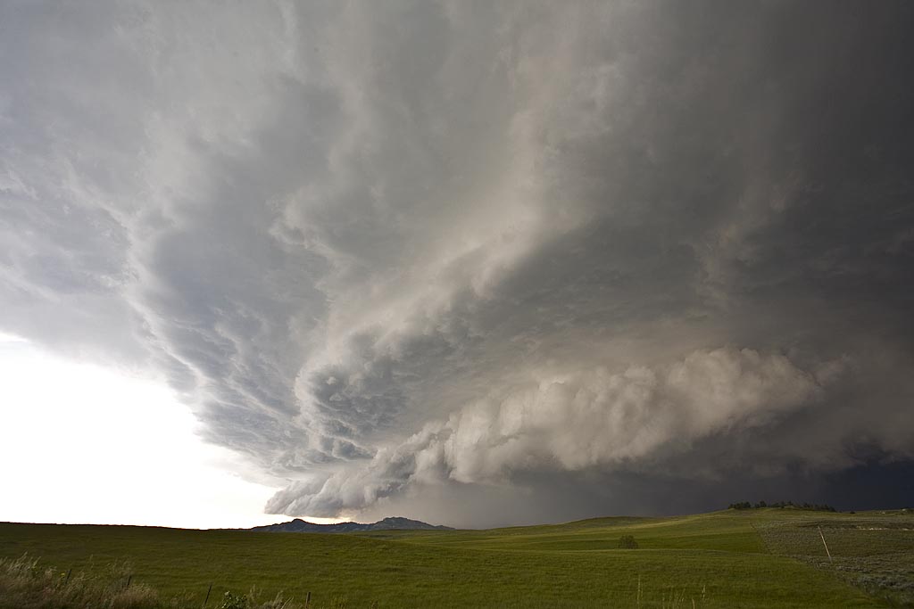
July 19th was a day I thought we would be in Canada. A strong trough, with good moisture and instability tracked along the US and Canada border. A boundary had formed from northwest North Dakota into western Iowa and would be the focal point for severe storms. We intercepted a supercell near Williston, North Dakota and tracked it well south of Bismark, North Dakota, over a 10 hour chase! It was either severe or tornado warned the entire time. What a beautiful storm. It arguably was the prettiest supercell of the year. It produced dozens of severe hail reports including hail baseball sized.
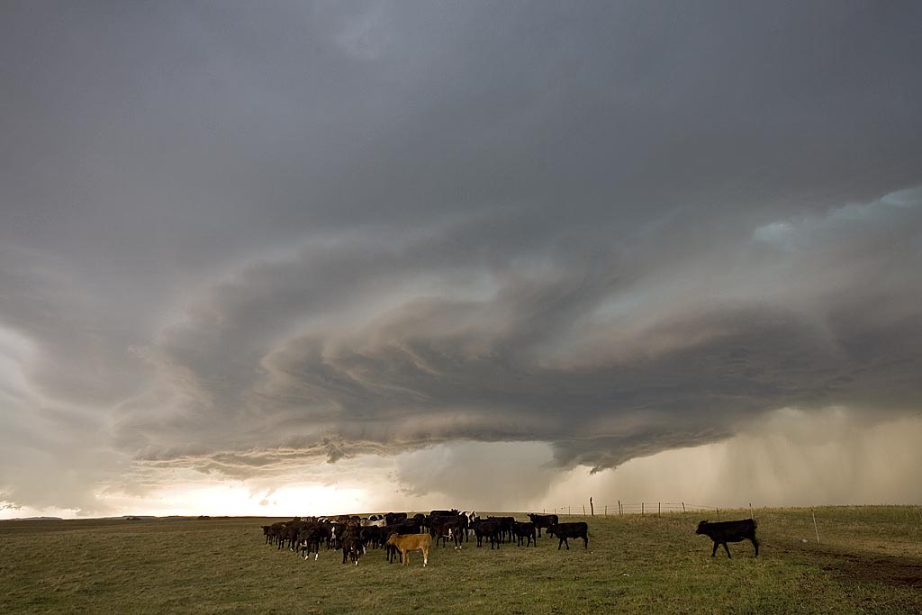
July 18th, 2008 Wyoming Supercell
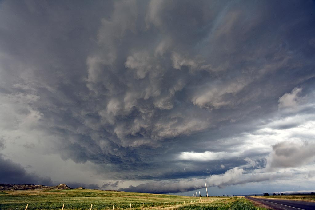
July 18th had good hope for supercells, but less chance for tornadoes. Good shear, along with moderate instability and weak low level moisture would be sufficient for storms to form. By mid afternoon, supercells exploded along the Big Horn mountains and moved eastward across northeast Wyoming. I intercepted this storm north of Gillette. The supercell contained 2″ diameter hail, very strong winds and it tried very hard to produce as it blasted across the Black Hills.
July 15th/16th Nebraska and South Dakota Tornado Warned Storms
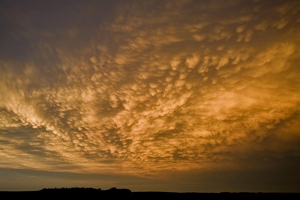
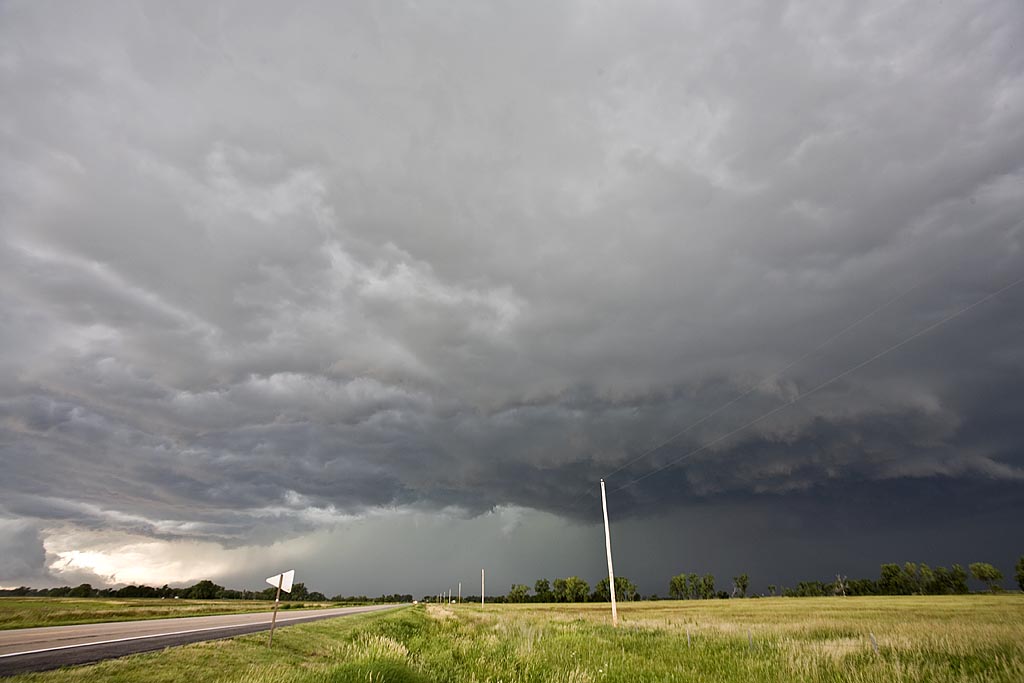
July 15 and 16 took me to northern Nebraska and South Dakota to play storms along the dryline. Shear wasn’t expected to be very strong, but enough to help generate supercells, and to my surprise tornado warned supercells. July 15th took us to Nebraska where a large supercell developed west of O’Neill. This storm was fairly high based, but rotating nonetheless. It produced golfball sized hail and had very high winds once it lined out. July 16th took me to central South Dakota along the Missouri River where numerous severe storms formed near dark. Lightning was decent and the hail was large, also to golfball sized.


