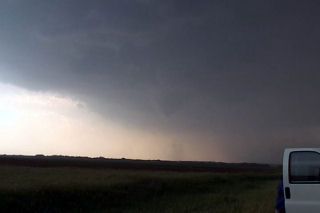
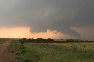
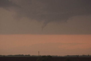
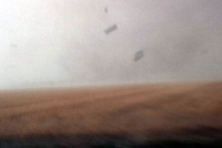
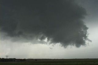
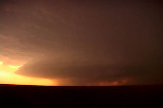
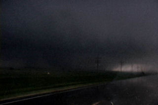
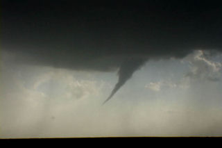
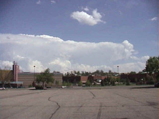
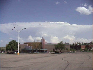
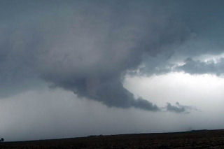
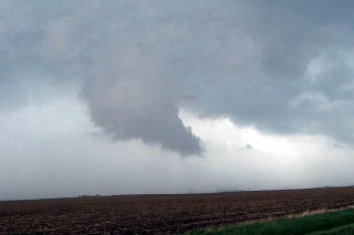
The setup May 29 was classic. A strong dryline surge was coming into Kansas. A surface low was developing with a triple point in north central Kansas. Moisture was spreading northward and would wrap around the surface low. By late afternoon, cumulus towers developed west of Concordia. It didn’t take long for an intense supercell to form and track northeastward along the warm front. This storm produced at least 5 confirmed tornadoes, including one that would hit the town of Norway, Kansas producing widespread damage.
May 22nd, 2004 Nebraska Tornadofest
May 22 took me to Nebraska. All things were coming together for quite a severe weather episode. A strong dynamic low and associated trough were coming out of Colorado headed for southern Nebraska. All severe weather indices were pointing to the area southeast of McCook, eastward towards Fairbury. Enough shear, instability, moisture and lift were present for strong tornadic supercells, and the atmosphere did not disappoint. By early afternoon, severe thunderstorms erupted in Colorado and spread into southwest Nebraska. We blasted westbound out of Hastings towards the tail end supercell southeast of McCook. We arrived in Beaver City in time for the show of the day. A quick tornado developed as the storm ingested deeper moisture, however this would be just the beginning.
Soon, a strong tornado developed just south of town and stayed on the ground for about 15 minutes. This was a beautiful elephant trunk/stovepipe that did little damage. A second tornado formed after an occlusion near the town of Orleans. This tornado just missed the north side of town. We are parallel with the tornado its entire life cycle. Just east of town I got out of the van and video taped as the tornado churned about 200 yards north of the road. It hit s building and filled the air with debris. I jumped back in the car and we drove east as it dissipated. In the meantime another tornadic storm (near Hallam, NE) formed. As we tried in vain to catch it a another storm formed near Republic, Kansas. This storm would produce 3 tornadoes, one of which was fairly strong. The updraft structure was breathtaking!!!! Finally at dark the last tornado formed with this storm as we blew it off to get ready for Illinois the next day.
May 16th-17th, 2004 Central Kansas Supercells
May 12th, 2004 Southern Kansas Tornadoes and Supercells
May 12 was to be the best of days and the worst of days. I arrived on the first cell to develop. We were sitting in Pratt as the dry line bulge kicked off the first respectable towers. However there were to be 4 cells this day and 3 of the 4 produced tornadoes. I was able to see the very first tornado, but missed the Attica tornado because I was still chasing the northern cell, which still had incredible structure. One storm chasing rule cost me, and that was to NEVER leave your storm unless you know it is dying or dead. And this cell wasn’t dying or dead. Finally, it crossed the cold front and became undercut, thus pretty much ending its tornado potential, so I blasted south and intercepted the Isabel cell, then caught the Anthony wedge (Harper county) at dark. This storm had incredible structure and looked like a striated soda can at dark. It was VERY electrified.
May 10th, 2004 Elbert County, Colorado Tornadoes
May 10th actually brought me to Oklahoma City for the end of tour 1 and the beginning of tour 2. Morning analysis indicated a strong potential for supercells and possible tornadoes in Colorado near the Palmer Ridge south and southeast of Denver. By mid afternoon storms developed near I-70 along a convergence zone. After a couple hours of struggling, on supercell became the dominant storm and produced up to 9 tornadoes. I called my wife Caryn to see if she wanted to chase the developing situation and out the door she went!!! Camera in hand. I vectored her to north of Limon where she encountered the first of many tornadoes. After videoing 40 minutes of tornadoes, her camcorder battery died as a large wedge tornado formed. Finally, near dark the last elephant trunk tornado formed northeast of Limon and was backlit by lightning. The photos below are just the beginning of this page dedicated to this event.
May 8th, 2004 Dallas County, Iowa Tornadic Supercells
This day took me to Iowa for high based supercells. The set up wasn’t ideal with only low to mid 50’s dewpoints with temps in the mid 80’s. By mid afternoon convergence along a west/east oriented boundary would be the focal point for severe thunderstorms where moisture pooled along the boundary. Storms fired in Green county and back built and moved southeast into Dallas county. This storm produced 2″ diameter hail and had decent structure. During its first cycle, it produced a weak tornado for about 1 minute. Later when it went HP, it had a very nice rotating wall cloud. Finally it lined out around 9:30 PM and moved south of Des Moines.


