Tag Archives | multivortex

November 2nd Oil City, New Mexico Tornado

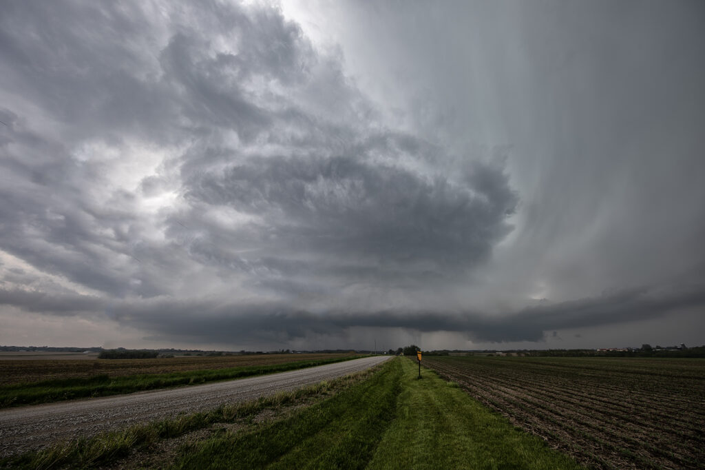
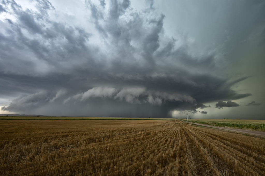
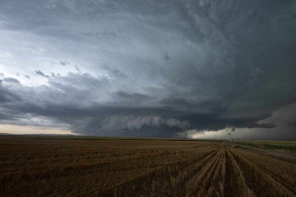
Once in a great while, a November set up needs to be chased. Nov 2/3 looked quite volatile in the southern plains/high plains so we ran one of our on call tours. With a full van we headed south from Denver to chase a triple point play in southwest Texas/southeast New Mexico. We arrived after a nearly 700 mile drive to watch a supercell favorably interact with the warm front/outflow boundary and spin like crazy. A broad circulation occurred southwest of Oil City and produced a 10-15 minute tornado. As the storm moved east towards Andrews, Texas, it continued to be tornado warned but slowly weakened. Another supercell formed south of town and also became tornado warned. It appeared to be slightly elevated, but produced insane lightning and huge hail. The second day we chased in Oklahoma, however storms were quite linear with embedded mesos and several became tornado warned. None of them had the look, and as they crossed the warm front into colder air, it was obvious they weren’t going to become tornadic. We headed back west and spent the night in Amarillo, driving north through snow into Colorado. All in all, a fun trip and anytime you get a nice supercell and a tornado in November it was worth it! Enjoy the pics!

Here is a link to our Youtube video from the day as well:

May 13th Pleasantville, Iowa Tornadoes

May 13th showed significant moisture and instability along a warm front and outflow boundary from previous days’ convection. The boundaries met and formed a triple point southwest of Des Moines, Iowa. Storms fired very early by 1pm and became tornado warned. Nothing significant formed but we stayed with them. Several false reports of multivortex tornadoes occurred, which has been the case all spring. The old philosophy of if you aren’t sure it’s a tornado, it is not one should be taken by many storm chasers!  Numerous tornado warnings were issued, and the monster supercell spun like crazy. It eventually weakened as it moved east off the boundary. Another supercell formed southwest of Pleasantville and produce at least 3 tornadoes that we witnessed. A multivortex, an elephant trunk and then another multivortex that was less than a quarter mile from us! The motion was incredible right over the vans as this tornadic storm drifted northeast and produced. An overall exciting day that the guests loved! Enjoy the pics!!!!

August 19th Lamar, NE area Tornadic Supercell

August 19th looked too good not to chase. Good moisture, high CAPE values, strong lift with an approaching wave and good low level shear along a boundary would set the stage for a good day! Mid afternoon storms exploded over northeast Colorado and slowly intensified. One particular storm, south of Holyoke, CO became a supercell. As it drifted east/northeast along the boundary it took off and became tornado warned. Very very strong low level rotation was occurring and the low level mesocyclone eventually became rain wrapped where you couldn’t see it anymore. Extremely heavy rains (4-9 inches!) prevented me from taking dirt, now mud, roads to get into the notch for a better look. However, the storm did produce a tornado, possibly two, one of which was a fast funnel in the hook area before it wrapped up in rain. A fun chase day, and good results, just wished for a better view in the notch! Enjoy the pics!