Tag Archives | structure

April 23rd Sweetwater, Texas High Based Supercell

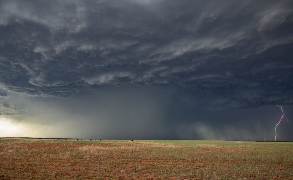
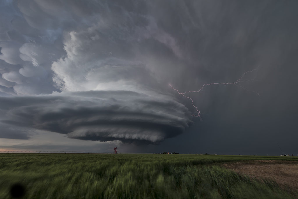
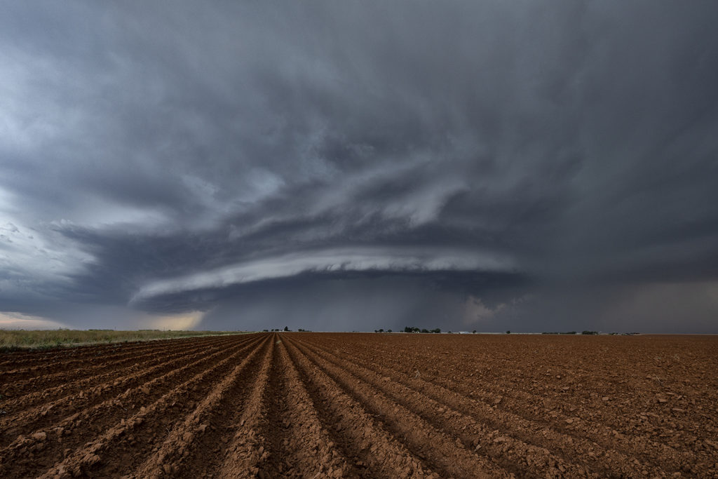
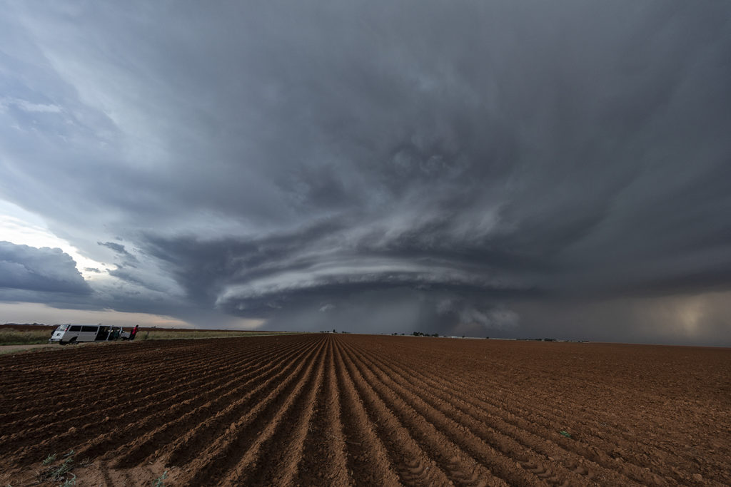
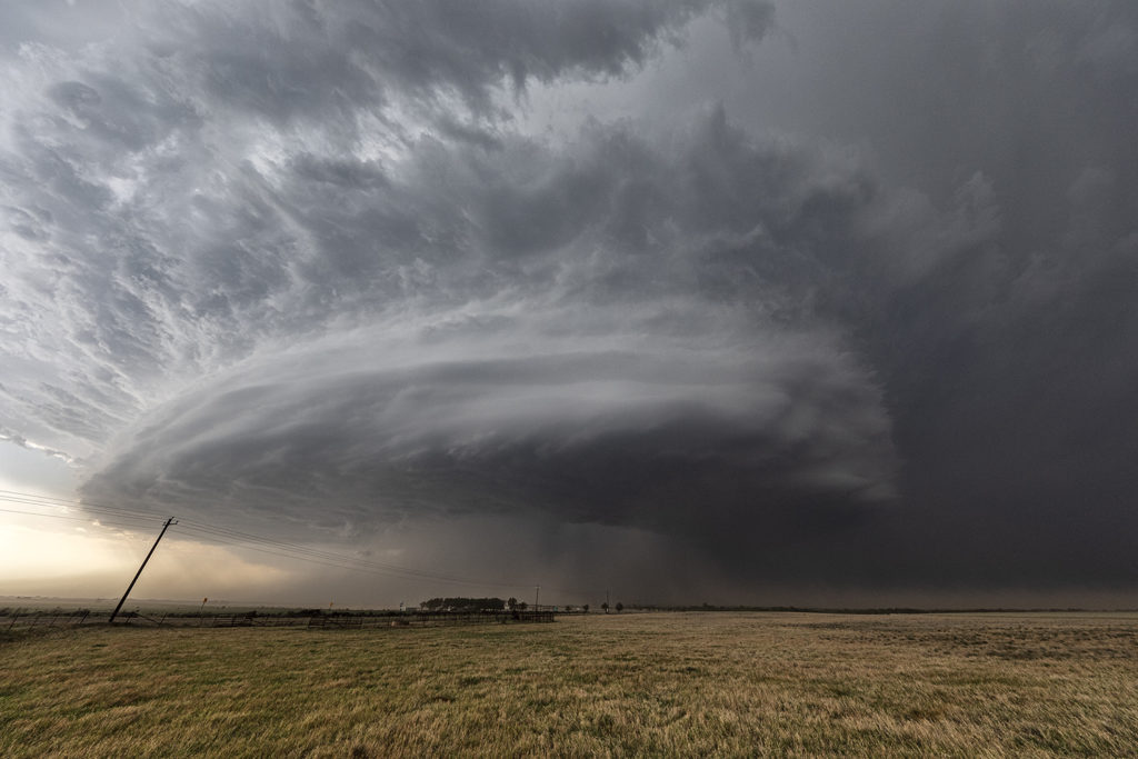
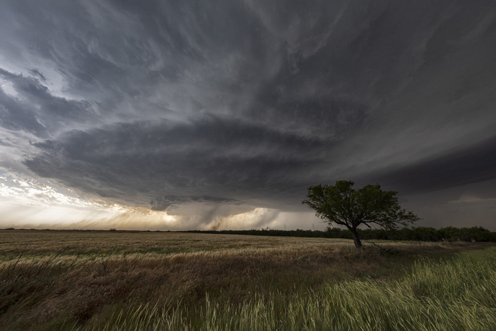
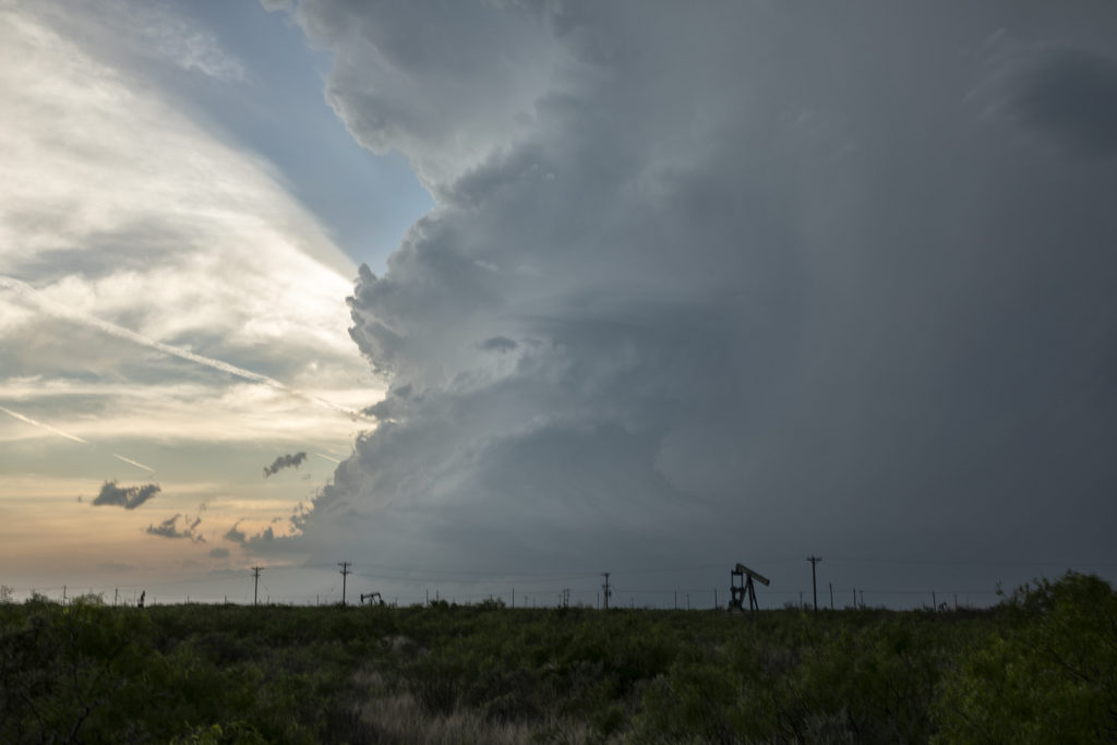
April 23rd promised some decent severe weather opportunities. However due to lack of good moisture, storms were high based. We intercepted one storm northwest of Sweetwater and stayed with it all the way south of Abilene where it gusted out. Structure was pretty and the hail up to golfball sized. It was also a pretty decent lightning producer. As it reached maturity and started weakening an haboob developed spewing red dirt all over. Winds were gusting over 70mph. All in all a decent day for the ingredients available to produce intense storms. Enjoy the pics!


May 24th Eastern New Mexico Tornadic Supercell

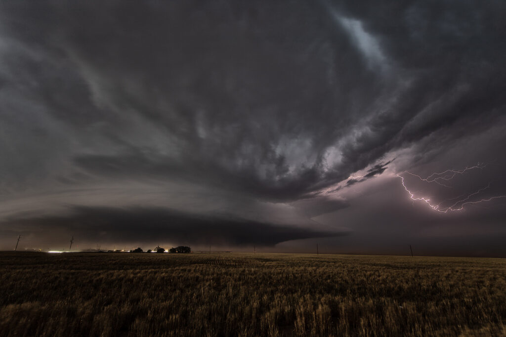
What a day! May 24th looked great in the models, and in real time, it was amazing!! Violent supercell thunderstorms congealed into one monster that dropped from Tucumcari, New Mexico southward to Clovis over a several hour period. Insane lightning and incredible storm structure persisted its entire life cycle. It also produced a few tornadoes, of which we caught a couple of them. During the early evening hours, as the storm approached Clovis, the inflow into this supercell was over 60 mph! Just showed the power of this HP storm! As it moved into far west Texas at dusk, the structure was constantly illuminated by incredible lightning. One of the most powerful supercells of 2023 to date, and it was a sight to behold! Enjoy the pics!

June 9th Southwest Nebraska Gorgeous Supercell!

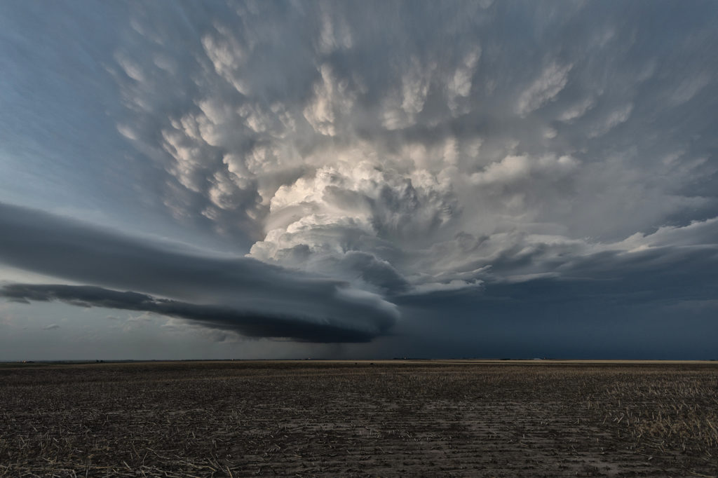
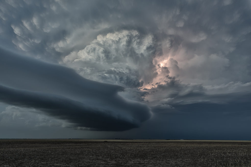
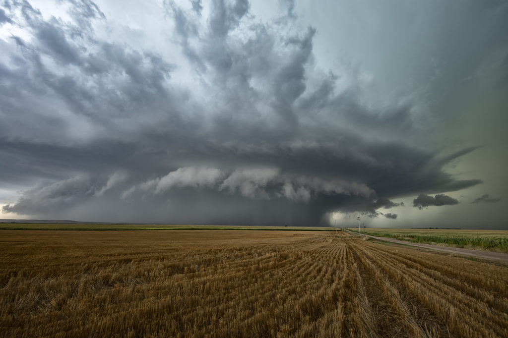
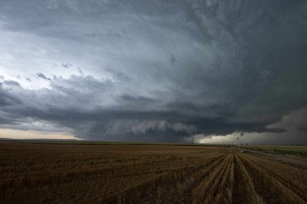
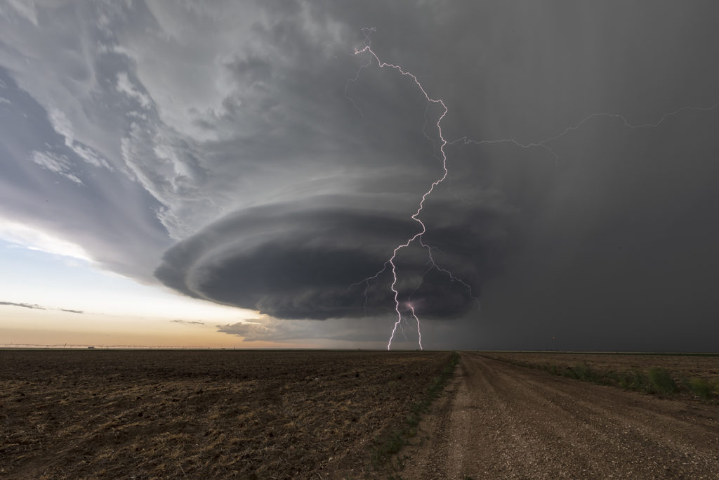
June 9th had one target for us, southwest Nebraska. An existing boundary would be the focal point for storm development that afternoon. Numerous storms formed, several becoming severe, however only one would survive and be the storm of the day. This supercell formed south of North Platte, NE and turned hard right, spinning like a top all the way to Oberlin, KS. The structure was top notch. When it first got its act together, it did have a slowly rotating wall cloud. We thought for a minute it might try to become tornadic, but the wall cloud eventually disappeared. As the storm moved south, it had the appearance of a mothership, and as it moved into Kansas as a low precipitation supercell, the structure at sunset was just stunning! A great day for the tours and an amazing way to end the evening! Enjoy the pics!

August 19th Lamar, NE area Tornadic Supercell

August 19th looked too good not to chase. Good moisture, high CAPE values, strong lift with an approaching wave and good low level shear along a boundary would set the stage for a good day! Mid afternoon storms exploded over northeast Colorado and slowly intensified. One particular storm, south of Holyoke, CO became a supercell. As it drifted east/northeast along the boundary it took off and became tornado warned. Very very strong low level rotation was occurring and the low level mesocyclone eventually became rain wrapped where you couldn’t see it anymore. Extremely heavy rains (4-9 inches!) prevented me from taking dirt, now mud, roads to get into the notch for a better look. However, the storm did produce a tornado, possibly two, one of which was a fast funnel in the hook area before it wrapped up in rain. A fun chase day, and good results, just wished for a better view in the notch! Enjoy the pics!

June 20th Pella, Iowa Tornado

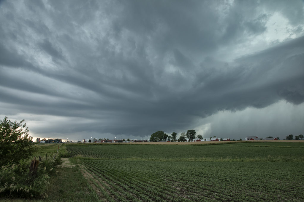
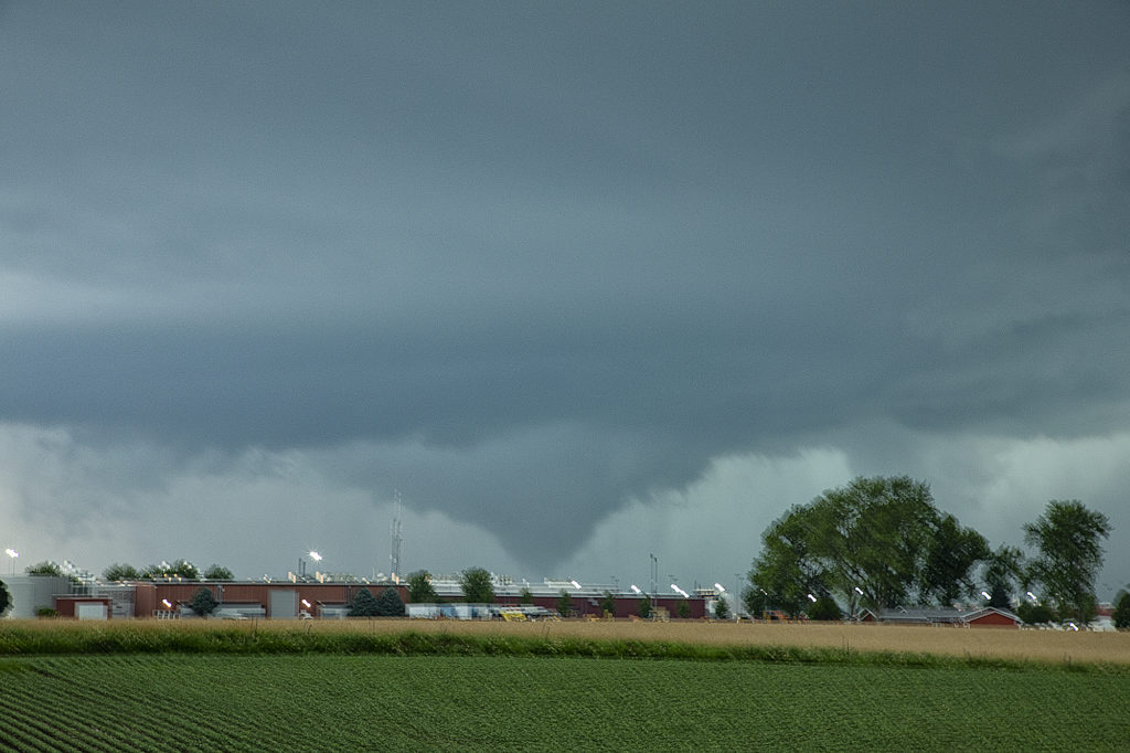
June 20th featured extreme instability, moderate wind shear and good lift along an advancing boundary over Iowa. We started the day from Denver, CO as it was the first day of the tour. After an early departure, we made it just east/southeast of Des Moines, Iowa (650 miles later!) just in time for storms to explode. The first supercell we intercepted was just east of Des Moines and never had the “look” like it wanted to become tornadic. Nice structure and a rotating wall cloud occurred, but it could never tighten up enough to produce a tornado. We dropped south and headed back west a little bit as a second storm quickly became organized. It developed a strong hook echo on radar to the west of Pella. As we arrived in town near the factory, we stopped to watch. Intense lightning was also occurring, a tell tale sign of storm intensification. Within a few minutes, a large bowl shaped funnel formed. Soon it developed into a full fledged cone shaped tornado that was on the ground for several minutes. In my haste to shoot video, time lapse and digital images, I failed to get a proper focus on my camera and thus most images were slightly blurry. The tornado dissipated and the storm eventually weakened as it moved east, ending our chase. A great first day for Tour 8!! Enjoy the pics, blurriness and all !!!!!

June 19th Raton Mesa, New Mexico Supercell

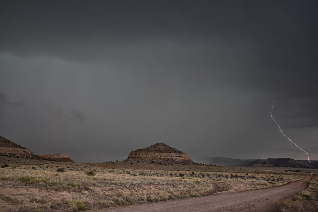
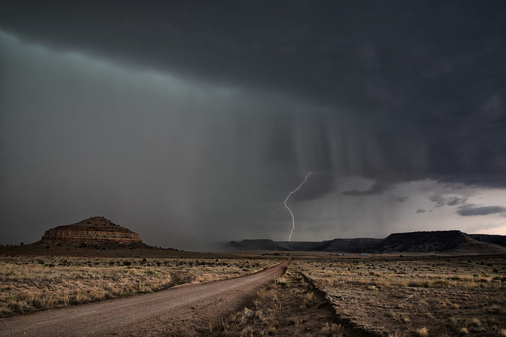
June 19th was the last day of Tour 7.  The weather pattern kept us fairly close to home, with the set up over the Raton Mesa between Colorado and New Mexico. Upslope flow would push decent moisture into the region and thunderstorms would form by mid afternoon. Moderate CAPE and shear were also present as the storm intensified and moved eastward. The region is known for it’s lack of good roads, so we ended up on a few poorer gravel/dirt roads. We arrived as the storm was very intense, producing golfball to tennisball sized hail. Love the “hail core green” color to the clouds when they are suspending millions of hailstones in them. The region is very colorful with many red rock buttes and ridges in the area adding to the already pretty scene. The terrain has been very dry in 2020, so little vegetation was growing.  Eventually the storm moved out over the Black Mesa area of the Oklahoma panhandle and weakened as it moved further east. A fun last day was a pretty storm and countryside! Click on a pic for a larger image. Enjoy!

May 21st Southwest Kansas Tornado Warned Supercells

May 21st had a lot of potential. A surface low and triple point was over southwest Kansas. Strong instability, good shear and lift along the various boundaries would set the stage for intense, potentially tornadic supercells this day. We targeted the first intense storm to go up near Lamar, Colorado. It produced tons of hail, great lightning and a couple of weak landspouts.  As it pushed east, a second storm formed and quickly became tornado warned. It had great structure and was quite severe. The best storm of the day, however formed near Satanta, Kansas and was an absolute treat to watch. Incredibly electrified and well structured, it persisted for a long time. Just before dark, it produced a couple of funnels, but just couldn’t get the circulations to the ground. One of my favorite chases of 2020 thus far! Please click on an image for a larger pic. Enjoy!!!

May 11th, Anton, Texas Spectacular Supercell

May 11th brought about a boundary that stretched from northeast New Mexico, southeastward across the Texas panhandle north of Lubbock. Moisture initially wasn’t high quality, although shear and lift were very good. Storms first went up southwest of Lubbock, followed by more storms northwest of Lubbock along the boundary. One storm rode the boundary, and started to get very organized. This supercell eventually merged with another cluster of storms. It later emerged from the line of storms and become a stunning supercell, with very strong rotation on the eastern side of the storm. We watched this entire sequence of developments, amazed at this storm’s ability to push through other weaker cells and emerge as the most intense cell of the day. It also became extremely photogenic as it marched southeast toward the north side of Lubbock. Producing huge hail and very strong winds, it pushed across town and eventually weakened. Enjoy the photos! Please click on an image to see a larger photo.

May 7th, Northwest Texas Supercell

May 7th brought our first chase of the season. Tours began and we hit the road for the triple point near Childress, Texas. By late afternoon, a storm formed on the boundary and moved southeast while intensifying. As it moved east of Childress, it produced very large hail over baseball sized and had incredible structure. It was never a threat to become tornadic, as the base was a tad too high. We stayed with this supercell to the northwest side of the DFW metroplex when we let it go as to not take a chance chasing in a huge city. Please click on an image below to see a larger photo. Enjoy!


April 29th Kermit, TX Supercell

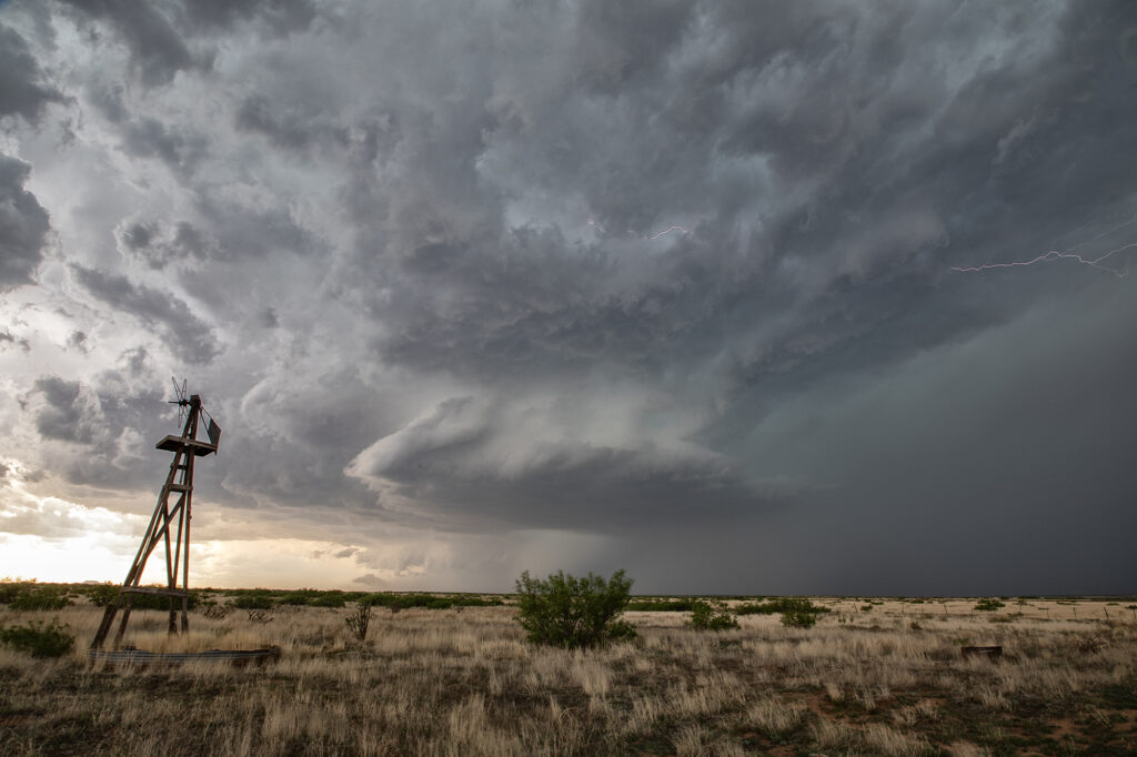
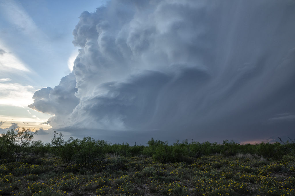
April 29th was a strange day.  Models initially like the area west of Midland, only to show no storms forming later in the day. A composite outflow boundary was moving steadily south and we were afraid it would push too far south and undercut any chance of a storm sustaining itself. Eventually however, large cumulus towers formed west of Odessa and turned into a pair of very pretty LP supercells. The structure was very nice and the lightning pretty. One thing to remember when you are in the desert is to watch out for reptiles as we encountered a young rattlesnake where we stopped. It was more afraid of us than we were of it. Pretty desert flowers dotted the countryside as this storm continued for several hours. A good result on a day that didn’t look great. We NEVER give up!!!!