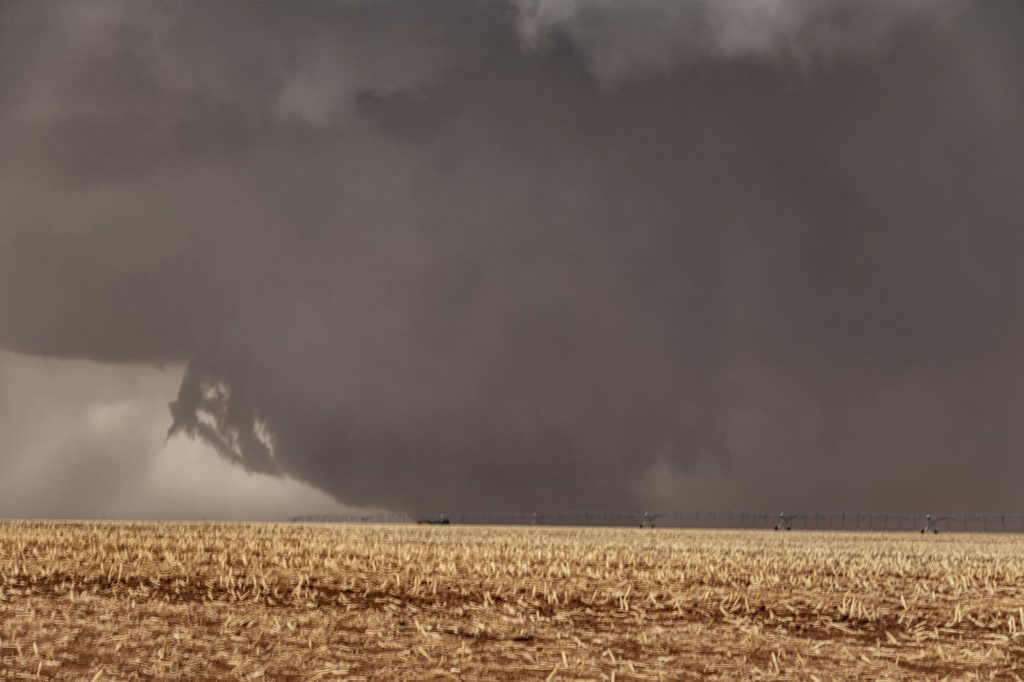
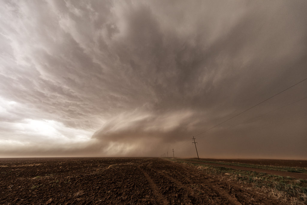
What a day! We certainly weren’t expecting what happened this day to occur. Limited moisture, but good shear and a dryline would set the stage for severe thunderstorm development. There is a term chasers use in the Texas panhandle called “panhandle magic” and it certainly was the mode this day! Storms developed in eastern New Mexico and clustered as they moved into west central Texas. It was a very messy storm mode. Eventually the tail end cell in the cluster anchored and started spinning. It became a very intense supercell, even with low dewpoints in the 50s! Soon the cell developed a wall cloud, then a multivortex tornado, and finally a 400 foot wide EF2 wedge tornado! It was nearly stationary! A second wedge occurred about 30 minutes later east of Morton and finally a 2 minute elephant trunk west of Levelland. Inflow was so strong ti was knocking down power lines and toppling trees! The storm was sucking so much dirt due to the drought in west Texas at times the updraft was barely visible. Structure was nice when you could see it and the storm as it approached Lubbock eventually died. It put on a nice lightning show at dusk as well. An incredible day and evening! Certainly by far more than we expected. Even the Storm Prediction Center didn’t have much of a tornado threat in its’ outlooks! Enjyo the pics!


