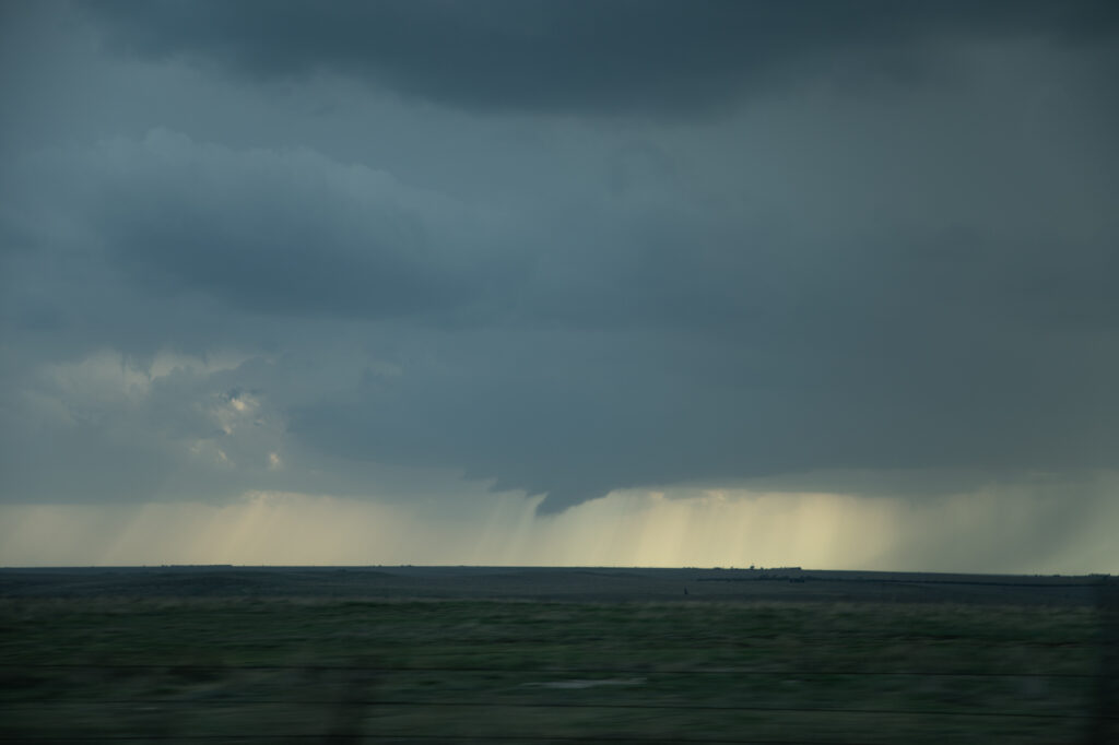
May 2nd featured a weak boundary in central Texas that would be the focus for storm development late in the day. Numerous storms formed along the boundary. Due to shear profiles, storm splits and mergers were evident. By mid to late afternoon a few storms formed along highway 277 north of Abilene, Texas. One split happened that passed in front of a right moving supercell near Anson and caused it to increase rotation rapidly. West of Anson a tornado touched down and was on the ground for a few minutes. As the old occluded mesocyclone weakened and dissipated, another one formed to the east/southeast of the first one. Soon rapid rotation occurred and eventually led to a small funnel. The funnel ascended and descended several times before it finally touched down northwest of Hawley. As the tornado firmly planted, a debris cloud formed. The tapered tornado widened into a text book drill press type tornado, with its strongest winds at ground level. The waterfall sound of the roar of the tornado was quite audible as it churned towards highway 277. Unfortunately it hit a couple houses, levelling them in its wake. The tornado then moved southeast and dissipated. All in all it was on the ground for over 20 minutes. The damage it causes was sporadic, but was rated high end EF3.
A great chase day, but with sad results due to the destruction the tornado caused. You NEVER want to see that happen anywhere. Fortunately the NWS in Abilene was able to give advanced warning to local residents, which resulted in no fatalities, but a few injuries did occur. Our thoughts and prayers to go to those families who were affected by this violent tornado.


